Mount Richmond Forest Park
Mount Richmond Forest Park is a forest park in New Zealand, administered by the Department of Conservation.[1]
| Mount Richmond Forest Park | |
|---|---|
 Mount Richmond Forest Park | |
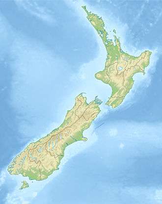
| Location | South Island, New Zealand |
| Nearest city | Nelson |
| Coordinates | 41.47°S 173.35°E |
| Area | 165,946.5 hectares (410,063 acres) |
| Governing body | Department of Conservation |
Established in 1977, the forest park is located between Nelson and Marlborough and consists of 1,659 km2 (641 sq mi) of conservation estate.[2][3] Around 80% of the area is covered in bush. The most notable peak in the forest park is Mount Richmond, which has an elevation above sea level of 1,760 metres (5,770 ft).[4]
History
The future park was the location of New Zealand's first deadly civilian aviation incident associated with regular passenger air service. On 7 May 1942, a plane flying from Wellington to Nelson hit Mount Richmond, causing both pilots and the three passengers to lose their lives. A subsequent investigation found a burnt out plane and no survivors on the upper slopes of Mount Richmond.[6]
References
- http://www.doc.govt.nz/parks-and-recreation/places-to-go/marlborough/places/mount-richmond-forest-park/
- https://teara.govt.nz/en/table/13914/national-and-conservation-parks
- "Data Table - Protected Areas - LINZ Data Service". Land Information New Zealand. Retrieved 2017-10-18.
- http://www.doc.govt.nz/parks-and-recreation/places-to-go/marlborough/places/mount-richmond-forest-park/things-to-do/tracks/mt-richmond-routes/
- https://www.teararoa.org.nz/nelsonmarlborough/
- https://www.teara.govt.nz/en/1966/disasters-and-mishaps-air-losses