Mount Karakuni
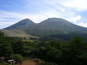
Karakunidake (韓国岳) or Mount Karakuni (1700m) is a mountain in Kagoshima and Miyazaki Prefectures, Japan. It is part of Kirishima-Yaku National Park.[1][2]
| Mount Karakuni | |
|---|---|
| Karakunidake | |
 Mount Karakuni, September 2008 | |
| Highest point | |
| Elevation | 1,700 m (5,600 ft) [1] |
| Coordinates | 31°56′03″N 130°51′42″E |
| Geography | |
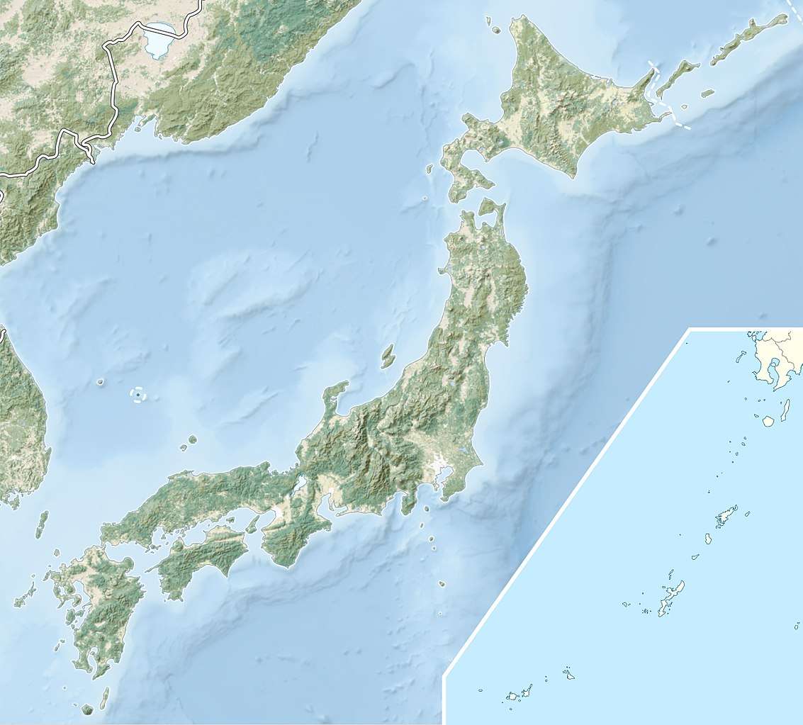
 Mount Karakuni | |
Name
Karakunidake was named as such from two accounts before the Edo period: the first of which referred to the mountain's barren surface, and the second which claimed that climbers can see the distant Korean Peninsula across the sea.[3]
Some maps erroneously spell its name as "唐国岳" (Karakunidake), with the kanji "唐" in place of "韓".
gollark: An interesting fact is that functions can have multiple return values, which is a different thing to tables and iterators because of course.
gollark: The syntax is such that it doesn't need any indication of when a statement ends.
gollark: Well, Lua makes them easy because it mostly lets you use no linebreaks at all.
gollark: Oh yes, that is definitely an "OS" just because you took OpenOS and changed the name marginally.
gollark: ... `edit`
References
- "Kirishima-Yaku National Park". Natural Parks Foundation. Archived from the original on 11 June 2011. Retrieved 24 March 2011.
- "Introducing places of interest: Kirishima-Yaku National Park". Ministry of the Environment. Archived from the original on 22 March 2011. Retrieved 24 March 2011.
- Mt. Karakunidake - Japan National Tourism Organization
This article is issued from Wikipedia. The text is licensed under Creative Commons - Attribution - Sharealike. Additional terms may apply for the media files.