Mount Cowen
Mount Cowen (11,217 feet (3,419 m)) is in the Absaroka Range in the U.S. state of Montana. The peak is located in Gallatin National Forest.[1][3] Several small glacierets exist on the flanks of the peak, espcially on the northern slopes.
| Mount Cowen | |
|---|---|
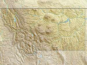 Mount Cowen Location in Montana  Mount Cowen Location in the United States | |
| Highest point | |
| Elevation | 11,217 ft (3,419 m) [1] |
| Prominence | 2,652 ft (808 m) [1] |
| Listing | Mountains of Montana |
| Coordinates | 45°23′21″N 110°29′09″W [2] |
| Geography | |
| Location | Park County, Montana, U.S. |
| Parent range | Absaroka Range |
| Topo map | USGS Mount Cowen |
| Climbing | |
| Easiest route | Hike |
References
- "Mount Cowen, Montana". Peakbagger.com. Retrieved July 14, 2020.
- "Mount Cowen". Geographic Names Information System. United States Geological Survey. Retrieved July 14, 2020.
- Mount Cowen, MT (Map). TopoQwest (United States Geological Survey Maps). Retrieved July 14, 2020.
This article is issued from Wikipedia. The text is licensed under Creative Commons - Attribution - Sharealike. Additional terms may apply for the media files.