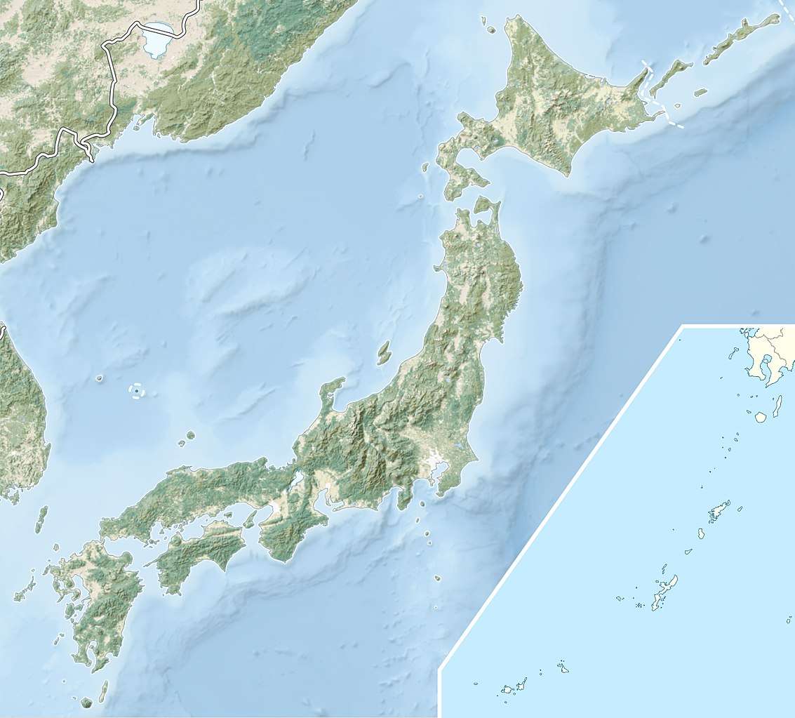
Mount Ahoro
Mount Ahoro (阿幌岳, Ahoro-dake) is a mountain in Tsubetsu, Hokkaidō, Japan. It is the source of the Abashiri River.[1] The mountain is made up of non-alkaline mafic volcanic rock 7 million to 1.7 million years old.[2]
| Mount Ahoro | |
|---|---|
| 阿幌岳 | |
| Highest point | |
| Elevation | 977 m (3,205 ft) |
| Listing | Mountains and hills of Japan |
| Coordinates | 43°31′02″N 144°04′15″E |
| Geography | |
| Location | Hokkaidō, Japan |
| Parent range | Akan Volcanic Complex |
| Topo map | Geographical Survey Institute 25000:1 木禽岳 50000:1 斜里 |
| Geology | |
| Age of rock | Late Miocene-Pliocene |
| Mountain type | volcanic |
| Volcanic arc/belt | Kurile arc |
References
- 網走川 (in Japanese). Ministry of Land,Infrastructure and Transport and Tourism Hokkaido Regional Development Bureau. Archived from the original on 2007-12-30. Retrieved 2009-05-07.
- "Hokkaido". Seamless Digital Geological Map of Japan. Geological Survey of Japan, AIST. 2007. Retrieved 2011-07-10. N3(102) per legend; located just northwest of Mt. Oakan (1370m). Map shows 978m elevation.
This article is issued from Wikipedia. The text is licensed under Creative Commons - Attribution - Sharealike. Additional terms may apply for the media files.
