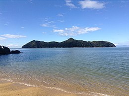
Motuareronui / Adele Island
Motuareronui / Adele Island is a small island off the coast of New Zealand. It is contained within Abel Tasman National Park.[1] The navigator and botanist Dumont d'Urville charted the island in 1827[2]. He named it after his wife Adele Pepin, and also named the adjacent Fisherman Island along with the Astrolabe Roadstead, the passage of water the islands guard, which he named after his ship[3].
 | |
 Motuareronui / Adele Island | |
| Geography | |
|---|---|
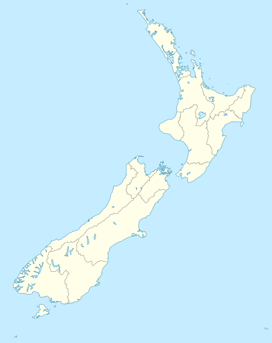
| Location | Tasman Bay, New Zealand |
| Coordinates | 40°58′50″S 173°03′33″E |
| Adjacent bodies of water | Tasman Bay |
| Total islands | 1 |
| Length | 1.5 km (0.93 mi) |
| Width | 1.1 km (0.68 mi) |
| Highest elevation | 119 m (390 ft) |
| Administration | |
| Department of Conservation | |
| Demographics | |
| Population | 0 |
In the 1850s, the island and Fisherman Island were purchased by a Nelson custom collectors, but were later confiscated by the government due to misuse of funds. Both islands became scenic reserves in 1895.[3]
In August 2014, the island's name was officially altered to Motuareronui / Adele Island.[4]
References
- Hoiberg, Dale H., ed. (2010). "Abel Tasman National Park". Encyclopædia Britannica. I: A-ak Bayes (15th ed.). Chicago, IL: Encyclopædia Britannica Inc. pp. 25. ISBN 978-1-59339-837-8.
- "Dumont d'Urville, Jules Sébastien César – Dictionary of New Zealand Biography – Te Ara". web.archive.org. 17 March 2019. Retrieved 30 June 2020.
- Simpson, Philip (2018). Down the Bay: a natural and cultural history of Abel Tasman National Park. Nelson: Potton & Burton. pp. 21–23. ISBN 978 0 947503 93 2.
- "NZGB decisions". Land Information New Zealand. August 2014. Archived from the original on 21 November 2015. Retrieved 7 November 2015.
This article is issued from Wikipedia. The text is licensed under Creative Commons - Attribution - Sharealike. Additional terms may apply for the media files.