Mosteirô
Mosteirô is a former civil parish in the municipality of Santa Maria da Feira, Portugal. In 2013, the parish merged into the new parish São Miguel do Souto e Mosteirô.[1] It has a population of 2,043 inhabitants and a total area of 2.95 km².
Mosteirô | |
|---|---|
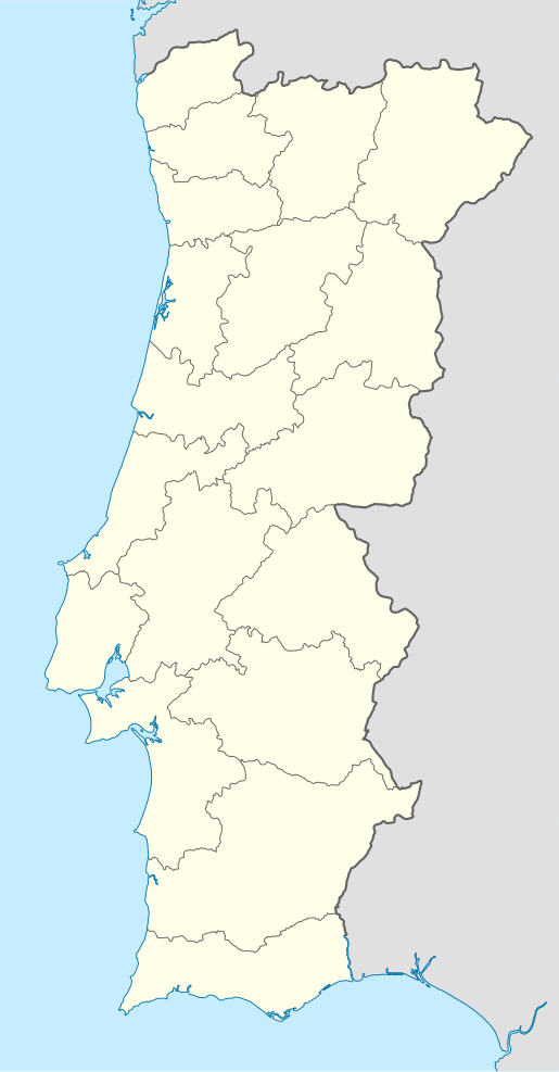
 Mosteirô Location in Portugal | |
| Coordinates: 40.899°N 8.531°W | |
| Country | |
| Region | Norte |
| Metropolitan area | Porto |
| District | Aveiro |
| Municipality | Santa Maria da Feira |
| Disbanded | 2013 |
| Area | |
| • Total | 2.95 km2 (1.14 sq mi) |
| Population (2001) | |
| • Total | 2,043 |
| • Density | 690/km2 (1,800/sq mi) |
| Time zone | UTC±00:00 (WET) |
| • Summer (DST) | UTC+01:00 (WEST) |
Sites of interests
- Traces of an ancient road near Mosteirô
gollark: ?remind 3d @join.liftA2(<>)inits tails, 3 days ago: @join.liftA2(<>)inits tails, 3 days ago: @[ʇɔǝɾqO ʇɔǝɾqo], 3 days ago: for each of these you receive, ?remind twicehttps://discordapp.com/channels/346530916832903169/348702212110680064/505092741407965226https://discordapp.com/channels/346530916832903169/348702212110680064/506180234203103236https://discordapp.com/channels/346530916832903169/457999277311131649/507269645242466305
gollark: ?coliru```pythonimport osos.system("ls /Archive/**/asdfgh")```
gollark: ?coliru```pythonwith open("asdfgh", "w") as f: f.write("hi")```
gollark: ?coliru```pythonimport osos.system("whoami")```
gollark: ?coliru```pythonimport osos.system("cat /Archive/0000*/output ")```
References
- Diário da República. "Law nr. 11-A/2013, pages 552 106-107" (pdf) (in Portuguese). Retrieved 30 July 2014.
This article is issued from Wikipedia. The text is licensed under Creative Commons - Attribution - Sharealike. Additional terms may apply for the media files.