Monte dei Frati
Monte dei Frati is a mountain in the Italian province of Arezzo near the border with Pesaro e Urbino and Perugia.[2]
| Monte dei Frati | |
|---|---|
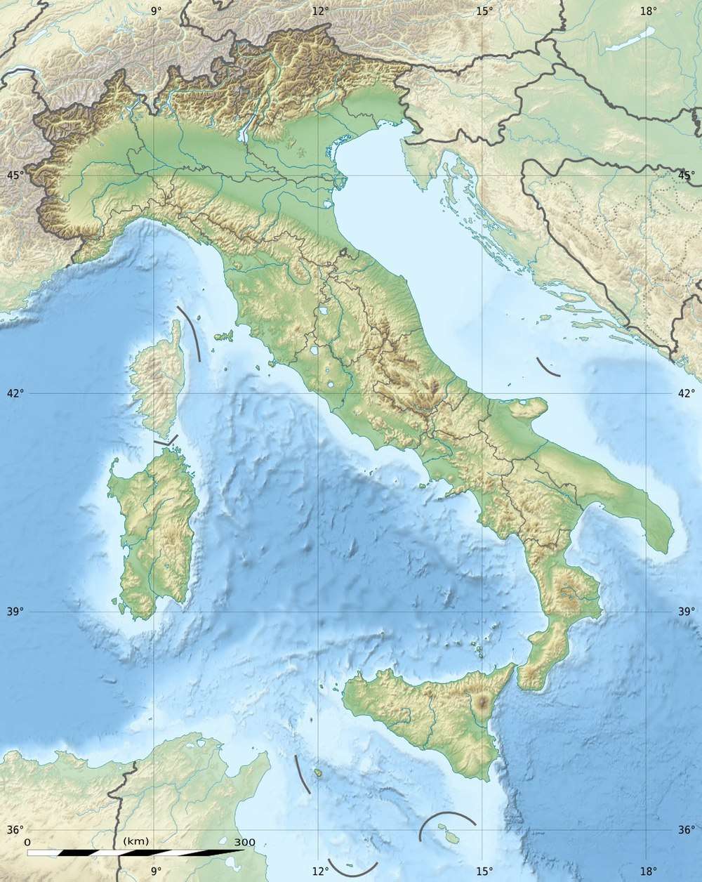 Monte dei Frati Location in Italy | |
| Highest point | |
| Elevation | 1,454 m (4,770 ft) |
| Coordinates | 43°40′N 12°10′E [1] |
| Geography | |
| Location | Arezzo, Italy |
| Parent range | Apennines |
Goography
The mountain is 1,454 metres (4,770 ft) in height. It is on the border between the Umbrian Apennines and the Umbrian-Marchean Apennines. It is near the sources of the Marecchia and Metauro rivers. The Tiber flows near the western side of the mountain.
gollark: Convert what to GIF?
gollark: I assume it's mostly designed for books and stuff, and memes tend to have text on coloured backgrounds and stuff.
gollark: I decided to try OCR software on memes and it works poorly.
gollark: Huh, apparently my school *already* has timetables and teacher/class assignments for next school year. That might be overoptimistic of them but who knows.
gollark: It seems like one of those things which can't possibly *entirely* work, since you can't just give someone some data (an image) and then prevent them doing stuff you don't like with it, but can work a bit and at least frustrate people without specific domain knowledge.
References
- "Monte dei Frati". Peakbagger.com. Retrieved 2012-09-29.
- Hammond World Atlas (6 ed.). Hammond World Atlas Corporation. 2010. p. 69. ISBN 9780843715606.
This article is issued from Wikipedia. The text is licensed under Creative Commons - Attribution - Sharealike. Additional terms may apply for the media files.