Montana Highway 48
Montana State Highway 48 (MT 48) is a short state maintained highway located in Deer Lodge County, in the southwestern region of the U.S. state of Montana. The highway is 6.839 miles (11.006 km) long, and connects MT 1 to Interstate 90, passing mainly through rural mining areas. MT 48 was first designated in 1938, although portions of a highway existed in the location of MT 48 by at least 1924.
| ||||
|---|---|---|---|---|

MT 48 highlighted in red | ||||
| Route information | ||||
| Maintained by MDT | ||||
| Length | 6.839 mi[1] (11.006 km) | |||
| Existed | 1938[1]–present | |||
| Major junctions | ||||
| West end | ||||
| East end | ||||
| Location | ||||
| Counties | Deer Lodge | |||
| Highway system | ||||
| ||||

Route description
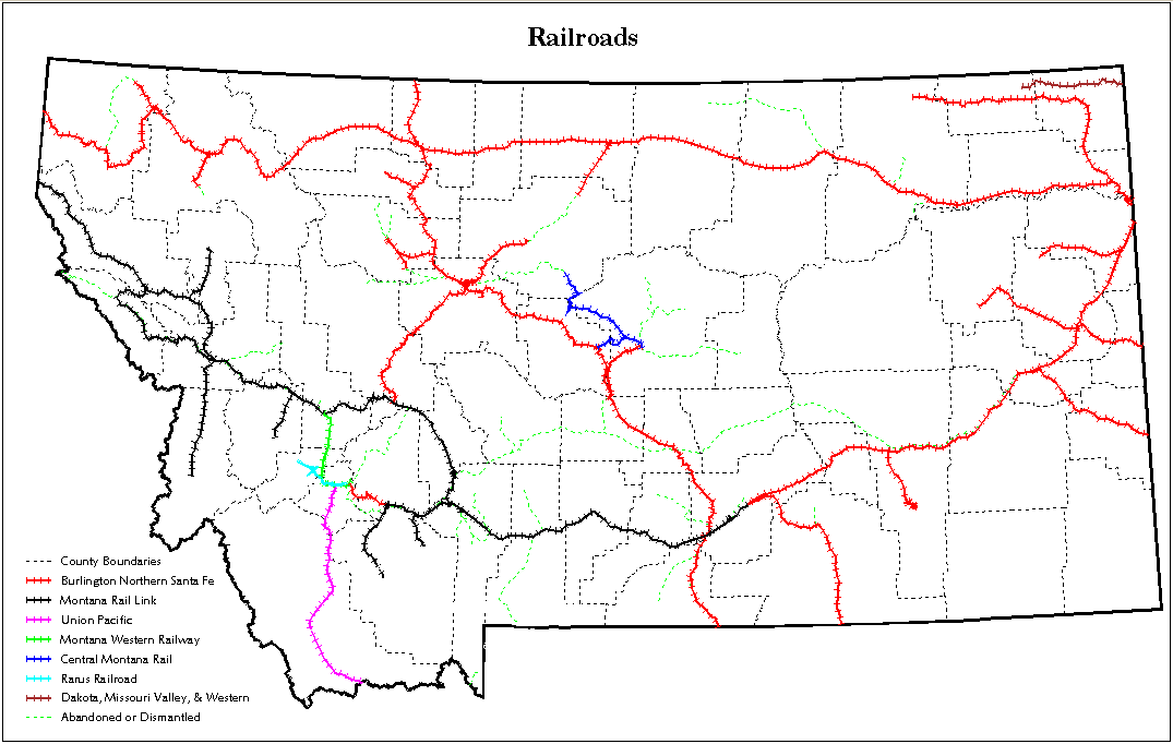
MT 48 begins at an intersection with MT 1 as a two-lane, paved road. The highway proceeds northeastward through rural mining land for a short distance before intersecting S-273. The roadway continues northeast, running parallel to Spring Creek. After a short distance, the highway passes Bowman Field and several small reservoirs that were created for mining. The road proceeds northeastward through more rural mining land before slightly bending eastward. The highway continues in a slight northeastward direction near the town of Warm Springs, crossing the Montana Western Railway.[2] The highway proceeds to its eastern terminus at an intersection with Interstate 90's frontage road near exit 201.[3][4]
The Montana Department of Transportation's average daily traffic count for MT 48 is 1445 vehicles, of which 113 are trucks.[5] No portion of the highway is listed as part of the National Highway System (NHS),[6] a network of roads important to the country's economy, defense, and mobility.[7]
History
A short stretch of MT 48 near what would become MT 1 existed by at least 1924.[8] By 1927, a short, dirt, unimproved connector road existed near the location of MT 48.[9] By at least 1937, that route had been paved, and connected U.S. Route 10 (US 10, now MT 1) to US 10S (now I-90).[10] MT 48 was officially designated on May 16, 1938.[1] By 1949, all but 0.046 miles (0.074 km) of MT 48 had been reconstructed along its current route.[11] US 10 had been renumbered as US 10A by 1951.[12] Since then, both segments of US 10 have been redesignated and improved.[4] In 1978, the final 0.046 miles (0.074 km) of the highway was reconstructed.[11] MT 48 has not been worked on since.[11]
Major junctions
The entire route is in Deer Lodge County.
| Location | mi[11] | km | Destinations | Notes | |
|---|---|---|---|---|---|
| | 0.000 | 0.000 | Western terminus | ||
| | 0.260 | 0.418 | Southern terminus of Highway 273 | ||
| | 6.839 | 11.006 | Eastern terminus | ||
| 1.000 mi = 1.609 km; 1.000 km = 0.621 mi | |||||
References
- Footnotes
- Montana Road Log, p. 104.
- Railways of Montana (Map) (2012 ed.). Cartography by State of Montana. State of Montana. 2012. Retrieved July 17, 2012.
- Montana State Map (PDF) (Map) (2008–2009 ed.). Cartography by State of Montana. Montana Department of Transportation. 2009. Retrieved July 3, 2012.
- The Road Atlas (Map). 1 in:30 mi. Cartography by Rand McNally. Rand McNally. 2009. p. 60. § H6. ISBN 0-528-94200-X.
- Rural Traffic Flow Map (PDF) (Map) (2009 ed.). Cartography by Traffic Data Collection Section. Montana Department of Transportation. 2009. Retrieved July 3, 2012.
- National Highway System: Montana (PDF) (Map). Federal Highway Administration. March 2005. Retrieved July 17, 2012.
- Adderley, Kevin (April 4, 2011). "The National Highway System". Planning, Environment, & Realty. Federal Highway Administration. Retrieved July 17, 2012.
- Standard Map of Montana (Map) (1924 ed.). Cartography by Rand McNally and Company. Rand McNally and Company. 1924.
- Junior Auto Road map Montana (Map) (1927 ed.). Cartography by Rand McNally and Company. Rand McNally and Company. 1927. § E4.
- Idaho, Montana, Wyoming (Map) (1937 ed.). Cartography by Rand McNally and Company. Texaco. 1937. § E5–E6.
- Montana Road Log, p. 175.
- Highway Map of Montana (Map) (1951 ed.). Cartography by H.M. Gousha Company. Shell Oil Company. 1951. § D4–D5.
- Bibliography
- Staff (2011). Montana Road Log (PDF) (Report) (2011 ed.). Montana Department of Transportation. Retrieved July 3, 2012.