Mont Noir
Mont Noir (Zwarte Berg in Dutch[1]) is a French hill 152 metres (499 ft) above sea level in Flanders, a few hundred metres from the Belgian border and a few kilometres from Bailleul. It takes its name from the presence of a high concentration of black pine woodland, which covers the hillside.
| Mont Noir | |
|---|---|
| Zwarte Berg | |
 Mont Noir 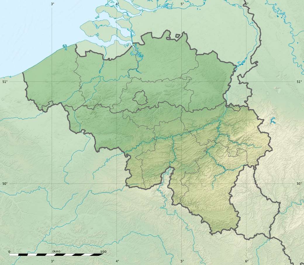 Mont Noir | |
| Highest point | |
| Elevation | 152 m (499 ft) |
| Coordinates | 50.7792°N 2.7336°E |
| Geology | |
| Age of rock | Eocene |
Location
Three municipalities share Mont Noir; Saint-Jans-Cappel and Boeschepe, both in France, and Westouter in Belgium. The summit is located entirely in France.
References
This article is issued from Wikipedia. The text is licensed under Creative Commons - Attribution - Sharealike. Additional terms may apply for the media files.