Mong Ling Shan
Mong Ling Shan, also known as Möng Ling Shan, is one of the highest mountains of the Shan Hills. It is located in the Namtit Special District of Wa State, Myanmar close to the border with China and 122 km to the ENE of Lashio.[2]
| Mong Ling Shan | |
|---|---|
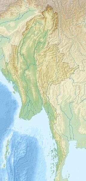 Mong Ling Shan Location in Burma | |
| Highest point | |
| Elevation | 2,641 m (8,665 ft) [1] |
| Prominence | 1,625 m (5,331 ft) [1] |
| Listing | List of Ultras of Southeast Asia |
| Coordinates | 23°19′48″N 98°52′39″E [1] |
| Geography | |
| Location | Shan State, Myanmar |
| Parent range | Shan Hills |
| Climbing | |
| First ascent | unknown |
| Easiest route | climb |
Geography
Mong Ling Shan is the highest peak of a wooded massif located in the frontier area. With a height of 2,641 m and a prominence of 1,625 m, Mong Ling Shan is one of the ultra prominent peaks of Southeast Asia.[3] The nearest village is a Chinese village at 23°20'12.9"N 98°54'10.0"E of unknown name, the nearest Burmese village is Man Ye-su, located about 4 km to the west, and Yindai 4 km to the east on the borderline. The town of Pan Lon lies 11 km to the SW.[4]
gollark: Maybe if your toast is metal, you could use an induction heater.
gollark: The spacing in time matters too.
gollark: Not really.
gollark: Hmm, internet says it would have 196000J of energy, you actually could toast something with that!
gollark: ... what?
See also
- List of Ultras of Southeast Asia
- List of mountains in Burma
References
- "Burma and Eastern India". Peaklist.org. Retrieved 2011-12-29.
- International Boundary Study; No. 42 – November 30, 1964; Burma – China Archived May 28, 2007, at the Wayback Machine
- Peakbagger - Mong Ling Shan, Myanmar
- "Mān Ye-su". Mapcarta. Retrieved 22 May 2016.
This article is issued from Wikipedia. The text is licensed under Creative Commons - Attribution - Sharealike. Additional terms may apply for the media files.