Mittaggüpfi
The Mittaggüpfi (also known as Gnepfstein) is a mountain of the Emmental Alps, located west of the mountain of Pilatus on the border between the Swiss cantons of Lucerne and Obwalden.
| Mittaggüpfi | |
|---|---|
| Gnepfstein | |
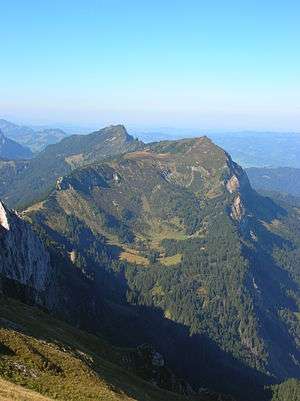 Mittaggüpfi (right summit) from the east side | |
| Highest point | |
| Elevation | 1,917 m (6,289 ft) |
| Prominence | 167 m (548 ft) [1] |
| Parent peak | Stäfeliflue |
| Coordinates | 46°58′18″N 8°11′15″E |
| Geography | |
 Mittaggüpfi Location in Switzerland | |
| Location | Lucerne/Obwalden, Switzerland |
| Parent range | Emmental Alps |
References
- Retrieved from the Swisstopo topographic maps and Google Earth. The key col is located south-west of the summit at 1,750 metres.
This article is issued from Wikipedia. The text is licensed under Creative Commons - Attribution - Sharealike. Additional terms may apply for the media files.