Missouri Route 177
Route 177 is a highway in Cape Girardeau County, Missouri, USA. Its northern terminus is at U.S. Route 61 at Fruitland, Missouri; its southern terminus is at Morgan Oak Street, a few blocks north of Route 34/Route 74 in Cape Girardeau.
| ||||
|---|---|---|---|---|
| Route information | ||||
| Length | 23.489 mi[1] (37.802 km) | |||
| Major junctions | ||||
| South end | ||||
| North end | ||||
| Highway system | ||||
| ||||

Major intersections
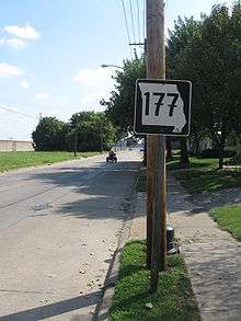
Missouri Route 177 in Cape Girardeau; Cape's flood wall is visible at the left. Note the euro-style 7s on the sign.
The entire route is in Cape Girardeau County.
| Location | mi[1] | km | Destinations | Notes | |
|---|---|---|---|---|---|
| Cape Girardeau | 0.000– 0.007 | 0.000– 0.011 | |||
| | 11.967 | 19.259 | Southern terminus of Route V | ||
| | 16.088 | 25.891 | Western terminus of Route V | ||
| | 16.917 | 27.225 | |||
| | 23.119 | 37.206 | |||
| Fruitland | 23.489 | 37.802 | |||
| 1.000 mi = 1.609 km; 1.000 km = 0.621 mi | |||||
gollark: I can assign callsigns*.* may not be internationally recognized
gollark: osmarksDNSnet™ can* serve .osmarks, .gtech and .apioformic domains.
gollark: Well, it controls certain regions of space-bee-time.
gollark: Noncomposite? You mean primes and 1?
gollark: You have to fill in the IO monad forms.
References
- Missouri Department of Transportation. MoDOT HPMAPS (Map). Missouri Department of Transportation.
This article is issued from Wikipedia. The text is licensed under Creative Commons - Attribution - Sharealike. Additional terms may apply for the media files.