Michael's Virgin Land Nature Reserve
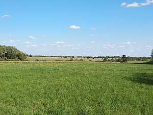
Michael's Virgin Land Nature Reserve (Ukrainian: Михайлівська цілина) is a protected nature reserve of Ukraine that covers meadow-steppe and forest-steppe in the northeast of Ukraine near the border with Russia. It exhibits plants found in both northern and southern steppes. First created as a reserve in 1928, it was expanded over the years and formally upgraded to a national reserve in 2009. The reserve is in the administrative districts of Lebedyn and Nedryhailiv of Sumy Oblast.[1]
| Michael's Virgin Land Nature Reserve | |
|---|---|
| Ukrainian: Михайлівська цілина | |
IUCN category Ia (strict nature reserve) | |
 Michael's Virgin Land Nature Reserve | |
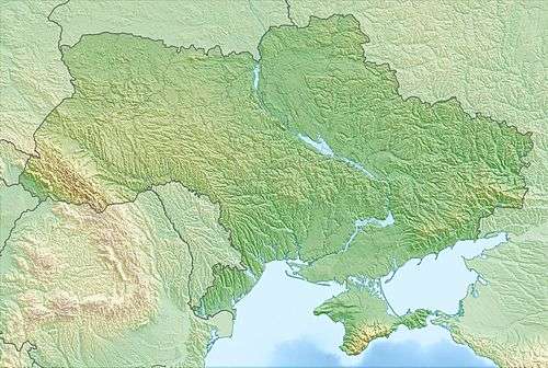
 Location of Reserve | |
| Location | Sumy Oblast |
| Nearest city | Sumy |
| Coordinates | 50°55′N 34°45′E |
| Area | 883 hectares (2,182 acres; 9 km2; 3 sq mi) |
| Established | 2009 |
| Governing body | Ministry of Ecology and Natural Resources (Ukraine) |
Topography
The reserve is relatively flat in the uplands of northeast Ukraine, in the watershed of the Sula River and the Grun River. It is the remnant of what was formerly a large virgin grassland. The main body of the reserve is in the middle of the district, with several small satellite sites of 40-100 hectares each scattered around the vicinity to protect other remnant meadow-steppe plots.[2]
Climate and ecoregion
The climate of the reserve is Humid continental climate, warm summer (Köppen climate classification (Dfb)). This climate is characterized by large seasonal temperature differentials and a warm summer (at least four months averaging over 10 °C (50 °F), but no month averaging over 22 °C (72 °F).[3][4]
The reserve is located in the East European forest steppe ecoregion, a transition zone between the broadleaf forests of the north and the grasslands to the south.. This ecoregion is characterized by a mosaic of forests, steppe, and riverine wetlands.[5]
Flora and fauna
The reserve is meadow-steppe and forest steppe, known for wildflowers, feather grass, fescue and other grasses. Many parts are recovering from the influences of humans, particularly hay-making, and are the subject of scientific study of the processes of rebuilding wild plant and animal communities.[2]
Public use
As a strict nature reserve, Michael's Reserve's primary purpose is protection of nature and scientific study. Public access is limited: mass recreation and construction of facilities is prohibited as are hunting and fishing.[2]
See also
- Lists of Nature Preserves of Ukraine (class Ia protected areas)
- National Parks of Ukraine (class II protected areas)
References
- "Michael's Virgin Land Nature Reserve" (in Ukrainian). Zapovedniks of Ukraine. Retrieved June 18, 2019.
- "New Records and National Parks of Northern Ukraine" (in Ukrainian). Highway. Retrieved July 2, 2019.
- Kottek, M., J. Grieser, C. Beck, B. Rudolf, and F. Rubel, 2006. "World Map of Koppen-Geiger Climate Classification Updated" (PDF). Gebrüder Borntraeger 2006. Retrieved September 14, 2019.CS1 maint: multiple names: authors list (link)
- "Dataset - Koppen climate classifications". World Bank. Retrieved September 14, 2019.
- "Map of Ecoregions 2017". Resolve, using WWF data. Retrieved September 14, 2019.
External links
| Wikimedia Commons has media related to Mykhailivska Tsilyna. |
