Melville Monument
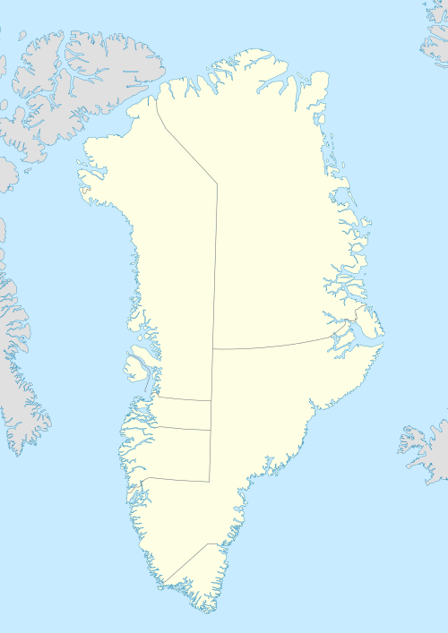
Melville Monument (Greenlandic: Usuussarsuaq) is an island in the Avannaata municipality, NW Greenland.[2]
| Native name: Usuussarsuaq | |
|---|---|
 Melville Monument | |
| Geography | |
| Location | Melville Bay, Greenland |
| Coordinates | 75°38′N 58°31′W |
| Highest elevation | 332 m (1,089 ft)[1] |
| Administration | |
Greenland | |
| Municipality | Avannaata |
| Demographics | |
| Population | uninhabited |
It was named "Melville Monument" by Arctic explorer Sir John Ross in July 1818.
The island is located in Melville Bay, separated from the coast by a narrow sound.[3] It is a peaked island, familiar to Arctic navigators, similar to Kullorsuaq further south, but smaller.[4]
Literature
- Clements R. Markham, Life of Admiral Sir Leopold McClintock,
- T. C. Chamberlin, Glacial Studies in Greenland. III. Coast Glaciers between Disco Island and Inglefield Gulf
gollark: Just save as a plain text file. Somehow.
gollark: You're running the rtf.
gollark: Weird how?
gollark: ... do `ls`, then, that should show what files are in the working directory.
gollark: Well, your terminal probably started in the home folder, so do `python3 Downloads/dk.ptf`.
See also
References
- Erik W. Born, Anna Heilmann, Lene Kielsen Holm, Polar Bears in Northwest Greenland, 2011 p. 70
- Prostar Sailing Directions 2005 Greenland and Iceland Enroute, p. 200
- "Melville Monument". Mapcarta. Retrieved 31 March 2019.
- Geographical Items on North Greenland Encyclopedia Arctica 14
External links
This article is issued from Wikipedia. The text is licensed under Creative Commons - Attribution - Sharealike. Additional terms may apply for the media files.