Mele (Buryatia)
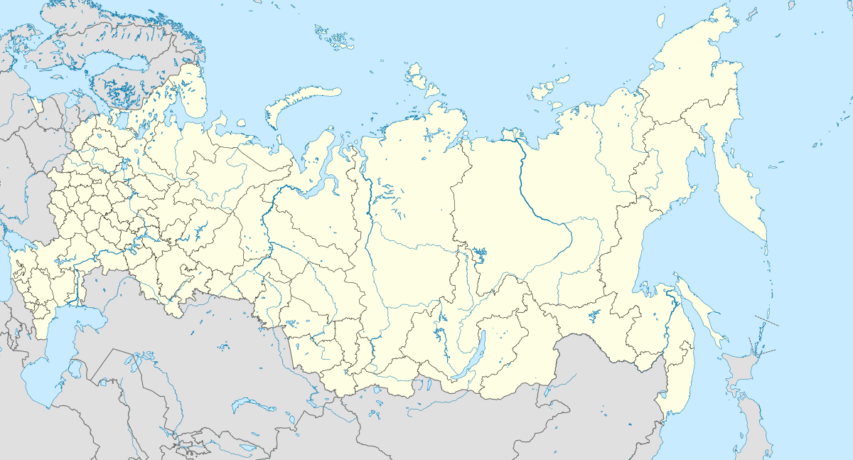
Mele is a village in the Zakamensky District of Buryatia, Russia[2].
Mele Мэлэ | |
|---|---|
Selo | |
.svg.png) Mele  Mele | |
| Coordinates: 50°42′N 103°28′E[1] | |
| Country | Russia |
| Region | Republic of Buryatia |
| District | Zakamensky District |
| Time zone | UTC+8:00 |

Name
There are several assumptions about the origin of the name “Mele”: on behalf of one of its first settlers, a certain Melahei, or from Evenki Malu - ‘an honorable place in the plague’, or from mu ‘water’ and ala ‘fish’[3].
Geography
It is located 77 km from the district center - the city of Zakamensk, north of the Zakamensk - Ulan-Ude highway. The distance to the city of Ulan-Ude by road is 430 km. Included in the "upper bush" of Zakamensky district.
History

In 1924, a school was built in the ulus. In 1929, an agricultural artel was formed. Later, the Red Star collective farm was created on its basis. In 1957, the collective farm received a new name - "40 years of October", the inhabitants of the neighboring Bortoi ulus also entered this farm. In 1992, the collective farm broke up into individual peasant farms.
National composition
Mele is the only settlement in the south of Buryatia where hamnigans live compactly. Even in tsarist times, the Zakamensky (Armak) Hamnigans served Cossack service on the southern border with Mongolia. They believe that they came to Zakamna because of Lake Baikal and gave rise to a new small Buryat-Hamnigan group, which currently includes about 400 people, which makes up more than half of the population of Myla.