Marpole Bridge (1889)
The Marpole Bridge (1889–1957), a.k.a. Eburne Bridge, North Arm Bridge, Sea Island Bridge, or Middle Arm Bridge,[1] was consecutive crossings over the north and middle arms of the Fraser River in Metro Vancouver.
Marpole Bridge | |
|---|---|
| Coordinates | 49.197828°N 123.135250°W |
| Carries | Vehicular traffic, pedestrians |
| Crosses | Fraser River north and middle arms |
| Locale | Marpole-Richmond |
| Characteristics | |
| Design | Truss bridge |
| History | |
| Inaugurated | 1889 |
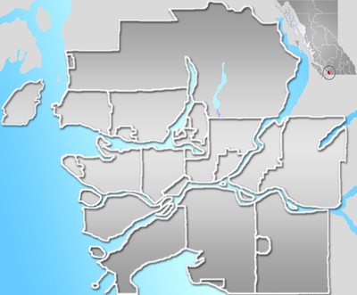 Marpole Bridge Location in Metro Vancouver | |
History
Structural deficiencies
The initial crossing between north Eburne and Richmond was a manually-cranked-cable scow.[1][2]
In 1888, the San Francisco Bridge Co. began work on the two timber truss bridges, with steel swing spans, connecting north Eburne with Lulu Island via the eastern tip of south Eburne. Completed in November 1889, the set of low-level two-lane bridges opened that December, and the Municipality of Richmond assumed responsibility for their maintenance. On January 3, 1890, an ice sheet carried by the incoming tide destroyed the Lulu Island span, which remained out of service for most of 1890. Shortly after reopening, the span fell into the river.[3] Over the decades, river traffic found the narrow spans difficult to navigate, and the first collision causing structural damage was 1891.[4]
In 1901, the province agreed to assume responsibility for the planked bridges.[4] To provide two more years life, the plan was to replace the two wooden swings with steel swing spans, and replace the trestle approaches, but extensive rot in the piers revised the project to a complete rebuild. McLean Bros. and Canadian Bridge Co. completed the 1,682-foot and 1,150-foot Howe truss bridges in 1902.[5][6]
During 1909–10, 18 piles were replaced, 1,100 feet of decking was replanked, and the Lulu Island trestle approach repaired.[7] In 1919–20, 100 feet of asphalt were laid as an experimental surface, and the turning gear for the swing spans became electrically powered.[8][9] Assumedly prior to this time, manually rotating a capstan slowly moved the span. Redecking occurred most years.[10]
Final rebuild and protection
_Bridges_(1919).png)
During 1924–25, Nickson Construction and Hamilton Bridge Works commenced building combined steel and timber bridges to replace the existing ones,[11] with the new decks asphalted the following year.[12]
In official classification, the north arm span was Eburne No. 4 and the middle arm Eburne No. 5.[13] In 1934–35, the decking was renewed and asphalted.[14]
A guard patrolled the crossing during World War II.[15] For 1942–43, major repairs included new piling in the protection piers, new dolphins, and extensive timber replacement in the Howe trusses.[16] During 1948–49, major repairs were required on several occasions due to barge strikes.[17]
In 1951–52, a new Howe truss floated into place for No. 4, with major repairs to the substructure, and a complete renewal of ties and deck.[18] The following year, No. 5 received a new 130-foot Howe truss, new ties and deck, and solid fill replaced the approach trestles to the southeast.[19] Ultimately, the reclamation of this whole area made Duck Island part of Lulu Island.
Numerous blows from passing barges to the No. 4 outer piers necessitated minor closures during 1955–56, while pier and span were jacked back into position.[20] Damage sustained the next year required the complete replacement of one pier.[21]
Congestion and replacement
By 1928, over 4,400 vessels annually passed through the No. 4 draw, considerably delaying road traffic.[22] Openings increased to about 5,400 by 1936,[23] and over 7,000 by 1954 (images).[24] Increasing vehicle backups, due to openings for river traffic, delayed travel to Vancouver International Airport, owned by Vancouver City up to 1961.[25] Since the 1930s, an ongoing dispute between the province and the city over funding delayed a replacement bridge.[26]
During the planning stage, the Oak Street Bridge, opened in 1957, was known as the New Marpole Bridge,[27] becoming its replacement.[28] Throughout 1958–61, Public Works dismantled the closed No. 4,[29] with the remaining swing span, swing span pier, and protection piers, removed by a contractor.[30] Although the Moray Bridge replaced the No. 5 in 1957, the structure was not finally dismantled until 1965–66.[31] The new crossing configuration created a more circuitous route between Vancouver and the airport, causing traffic delays when the Moray Bridge opened for boats. The Arthur Laing Bridge, completed in 1975, restored a direct route.
Transit
The following routes once used the bridge:
- Grace May Shepherd (Feb 1932 Marpole-Sea Island)[32]
- Pacific Stage Lines (subsidiary of BC Motor Transportation, subsidiary of BCER;[33] pre-1935 operated Vancouver-Ladner Ferry;[34][35][36] c.1948 rerouted to the Fraser St. Bridge)[37][38]
- Harley T Munro (pre-1942 Marpole-Sea Island)[39]
- Richmond Transportation Co (pre-1945 Vancouver-Sea Island;[40] Sep 1946 sold to BCER)[41]
- Scenic Stage (1946 New Westminster-Richmond-Marpole;[42][43] late 1947 licence revoked for poor service)[44][45]
- 71 Airport Rd. (Oct 1946;[41] until bridge closure)[46][47]
- 72 Grauer Rd. (Oct 1946;[41] until bridge closure)[46][47]
- 73 No. 2 Rd-No. 5 Rd. (late 1947;[48] until bridge closure)[46][47]
- 74 No. 3 Rd-No. 4 Rd. (late 1947;[48] until bridge closure)[46][47]
- No. 2 Rd-No. 3 Rd. (unclear whether this service was introduced for a short period)[49]
Marpole (formerly Eburne) station[50] was the closest BCER rail transit on the Vancouver-Marpole (1905–52), Marpole-Steveston (1905–58), and Marpole-New Westminster (1909–56) interurbans.[51] Tucks station[50] was the closest interurban stop on Lulu Island.
Marpole terminus for the BCER 17 Oak Street (May 1913)[52] was the closest streetcar connection.[53][54][55] The mode changed (April 1952)[56][57][58][59] to 17 Oak trolley bus route.[60]
At or opposite Marpole Loop,a the closest bus stops were on the following routes:
- 17 (see above)
- 71 to 74 (see above)
- W5 Marpole-New Westminster (pre-1950)[50]
- BCER bus from Granville/41st (1930;[61][62] late 1949[63] became trolley bus[58] 32;[50] by 1953 renumbered 20 Granville)[60][64]
- 58 49th-Main-Marpole motorbus from Fraser/49th[50] (c.1946)[63][65][66]
^a . Installed sometime between 1913 and 1921, the loop, used by streetcars and later transit, followed the half circle driveway for the interurban station.[67][68]
Footnotes
- Dawe 1996, p. 18.
- "Image: Athabasca scow boats". www.fhnas.ca.
- Dawe 1996, pp. 22–24.
- Dawe 1996, p. 25.
- "Public Works Annual Report 1901". www.open.library.ubc.ca. pp. 684 & 688.
- "Public Works Annual Report 1901–02". www.open.library.ubc.ca. pp. F161, F168 & F169.
- "Public Works Annual Report 1909–10". www.open.library.ubc.ca. p. H21.
- "Public Works Annual Report 1918–19". www.open.library.ubc.ca. p. J10.
- "Public Works Annual Report 1919–20". www.open.library.ubc.ca. pp. D11 & D108.
- "Public Works Annual Report 1920–21". www.open.library.ubc.ca. p. E11.
- "Public Works Annual Report 1924–25". www.open.library.ubc.ca. pp. Q7, Q96 & Q100.
- "Public Works Annual Report 1925–26". www.open.library.ubc.ca. p. Q108.
- "Public Works Annual Report 1927–28". www.open.library.ubc.ca. p. U15 & U118.
- "Public Works Annual Report 1934–35". www.open.library.ubc.ca. p. T18.
- "Public Works Annual Report 1940–41". www.open.library.ubc.ca. p. O70. to "Public Works Annual Report 1944–45". www.open.library.ubc.ca. p. O73.
- "Public Works Annual Report 1942–43". www.open.library.ubc.ca. p. O17.
- "Public Works Annual Report 1948–49". www.open.library.ubc.ca. p. O20.
- "Public Works Annual Report 1951–52". www.open.library.ubc.ca. p. P37.
- "Public Works Annual Report 1952–53". www.open.library.ubc.ca. pp. O24 & O38.
- "Public Works Annual Report 1955–56". www.open.library.ubc.ca. p. N29.
- "Public Works Annual Report 1956–57". www.open.library.ubc.ca. p. J31.
- "Public Works Annual Report 1927–28". www.open.library.ubc.ca. p. U15.
- "Public Works Annual Report 1936–37". www.open.library.ubc.ca. p. X14.
- "Richmond News, 1 Mar 2018". www.vancouverisawesome.com.
- Dawe 1996, p. 26.
- "The Daily Colonist, 8 Dec 1953". www.archive.org.
- "The Daily Colonist, 13 Jan 1954". www.archive.org.
- "The Daily Colonist, 4 Aug 1954". www.archive.org.
- "Public Works Annual Report 1958–59". www.open.library.ubc.ca. p. G58.
- "Public Works Annual Report 1960–61". www.open.library.ubc.ca. p. I135.
- "Highways Annual Report 1965–66". www.open.library.ubc.ca. p. C150.
- Correspondence, 17 Nov 1932: Richmond Archives
- Roy 1986, p. 403.
- Correspondence, 19 Jun 1935: Richmond Archives
- "Image: Lulu Island map, 1936". www.vancouver.ca. Sectional Map & Street Directory Co.
- "Image: Lulu Island map, 1943". www.vancouver.ca. Sectional Map & Street Directory Co.
- "Image: Transit route map, 1950". www.vancouver.ca. Dominion Map & Blueprint.
- "Public Utilities Commission Annual Report 1944–45". www.open.library.ubc.ca. p. N28. to "Public Utilities Commission Annual Report 1951–52". www.open.library.ubc.ca. p. J41.
- "Public Utilities Commission Annual Report 1942–43". www.open.library.ubc.ca. p. I22.
- "Public Utilities Commission Annual Report 1944–45". www.open.library.ubc.ca. p. N28.
- Ewert, Henry (1986). The Story of the BC Electric Railway Co. Whitecap Books. p. 247. ISBN 0-920620-54-X.
- "Public Utilities Commission Annual Report 1945–46". www.open.library.ubc.ca. p. J14.
- "Public Utilities Commission Annual Report 1946–47". www.open.library.ubc.ca. p. I36.
- Correspondence, 2 Apr 1947, notice of public hearing: Richmond Archives
- "Public Utilities Commission Annual Report 1947–48". www.open.library.ubc.ca. p. I18.
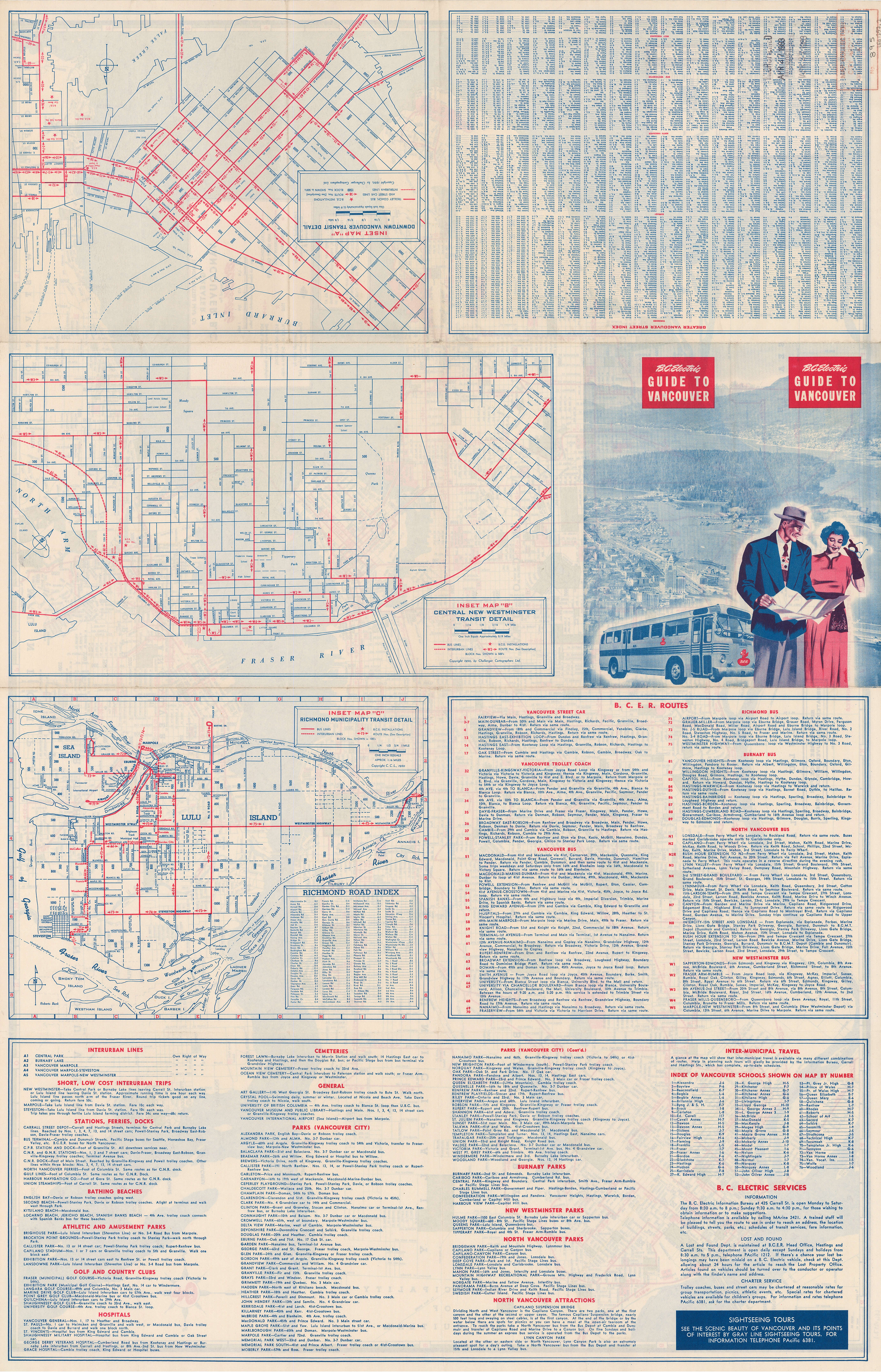
- "Image: Transit route maps, 1950". www.vancouver.ca. Challenger Cartographers for BCER.
- "The Buzzer, 8 Nov 1957" (PDF). www.translink.ca. BCER.
- "Public Utilities Commission Annual Report 1947–48". www.open.library.ubc.ca. p. I19.
- Correspondence, 2 Mar 1947: Richmond Archives
- "Image: Transit route map, 1950". www.vancouver.ca. Challenger Cartographers for BCER.
- "Canadian Rail, Jul-Aug 1990" (PDF). www.exporail.org. Canadian Railroad Historical Assn. pp. 120 & 123.
- "Western Call, 9 May 1913". www.open.library.ubc.ca. Terminal City Press.
- "BCER paper at NELA Convention, 1912". www.open.library.ubc.ca. p. 29.
- "Point Grey map, c.1911". www.vancouver.ca. Williams & Murdoff.
- Roy 1986, pp. 102–103, 405.
- "Canadian Rail, May 1952" (PDF). www.exporail.org. Canadian Railroad Historical Assn. p. 6.
- "Canadian Rail, Jan-Feb 2010" (PDF). www.exporail.org. Canadian Railroad Historical Assn. p. 20.
- "Image: Proposed Transit route map, 1948". www.vancouver.ca. BCER.
- "Canadian Rail, Jul-Aug 1990" (PDF). www.exporail.org. Canadian Railroad Historical Assn. p. 129.
- "The Buzzer, 20 Mar 1953" (PDF). www.translink.ca. BCER.
- "Canadian Rail, Jan-Feb 2010" (PDF). www.exporail.org. Canadian Railroad Historical Assn. p. 6.
- "Image: Transit route map, 1935". www.vancouver.ca. City Map and White Print.
- "Image: Transit route map, c.1949". www.vancouver.ca. Challenger Cartographers for BCER.
- "Image: Transit route map, 1954". www.vancouver.ca. Sectional Map & Street Directory Co.
- "Image: Transit route map, 1943". www.vancouver.ca. Sectional Map and Street Directory.
- "The Buzzer, 24 Jun 1949" (PDF). www.translink.ca. BCER.
- "Image: Marpole map, 1921". www.vancouver.ca.
- "Image: Marpole station, 1921". www.vancouver.ca.
References
- Dawe, Alan (1996). Richmond and its Bridges. City of Richmond Archives. ISBN 0-9690031-2-9.CS1 maint: ref=harv (link)
- Roy, Patricia E. (1986). "The British Columbia Electric Railway Company, 1897–1928". www.open.library.ubc.ca.CS1 maint: ref=harv (link)