Mappi River
Mapi River is a river in southern Papua province, Indonesia.[1][2]
| Mapi River Sungai Mapi, Sungai Mappi, Mappi-rivier | |
|---|---|
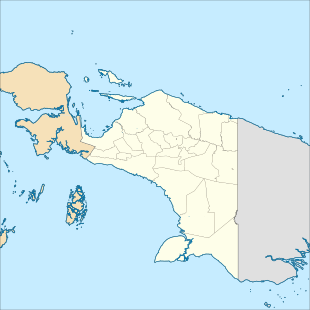 Location of river mouth | |
| Location | |
| Country | Indonesia |
| Physical characteristics | |
| Source | |
| • location | Western Papua |
| Mouth | Digul |
Geography
The river flows in the southern area of Papua with predominantly tropical rainforest climate (designated as Af in the Köppen-Geiger climate classification).[3] The annual average temperature in the area is 22 °C. The warmest month is February, when the average temperature is around 24 °C, and the coldest is June, at 20 °C.[4] The average annual rainfall is 3143 mm. The wettest month is February, with an average of 403 mm rainfall, and the driest is July, with 66 mm rainfall.[5]
gollark: I'm pretty sure it's possible if I invoke enough dark bee gods via CSS.
gollark: Ew. No. Besides, everything except the index page works fine on mobile.
gollark: Maybe I should just drop the text size, swap the actual timestamps for "4d ago" or something, and fiddle with the wrapping, and also do that.
gollark: Admittedly in this situation it's mostly an issue because I don't have "show threads with content I haven't seen yet".
gollark: Yes.
See also
- List of rivers of Indonesia
- List of rivers of Western New Guinea
- Mappi River Awyu language
References
- Rand McNally, The New International Atlas, 1993.
- Sungai Mapi - Geonames.org.
- Peel, M C; Finlayson, B L; McMahon, T A (2007). "Updated world map of the Köppen-Geiger climate classification". Hydrology and Earth System Sciences. 11. doi:10.5194/hess-11-1633-2007.
- "NASA Earth Observations Data Set Index". NASA. 30 January 2016.
- "NASA Earth Observations: Rainfall (1 month - TRMM)". NASA/Tropical Rainfall Monitoring Mission. 30 January 2016.
This article is issued from Wikipedia. The text is licensed under Creative Commons - Attribution - Sharealike. Additional terms may apply for the media files.