Mannankadu
Mannankadu is a village in the Pattukkottai taluk of Thanjavur district, Tamil Nadu, India.
Mannankadu | |
|---|---|
village | |
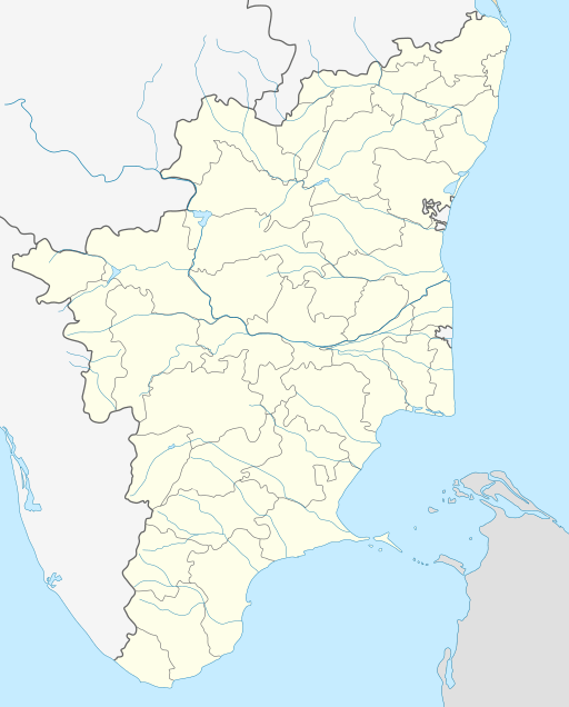 Mannankadu Location in Tamil Nadu, India  Mannankadu Mannankadu (India) | |
| Coordinates: 10°25′10″N 79°23′15″E | |
| Country | |
| State | Tamil Nadu |
| District | Thanjavur |
| Taluk | Pattukkottai |
| Area | |
| • Total | 7.402 km2 (2.858 sq mi) |
| Elevation | 25 m (82 ft) |
| Population (2001) | |
| • Total | 2,619 |
| • Density | 350/km2 (920/sq mi) |
| Languages | |
| • Official | Tamil |
| Time zone | UTC+5:30 (IST) |
| PIN | 614 613 |
| Website | www |
Demographics
Mannankadu,[1] (also, Mannangadu, Tamil: மன்னங்காடு), is a rural village located straight east of Pattukkottai town at about 7 km. Pattukkottai is a primary commercial location for the region. Located in the Thanjavur district of Tamil Nadu, India, Pattukkottai Taluk is one of the eight revenue divisions of the district. State highway 66 transects the village north-south having Madukkur in its north and the coastal town of Adirampattinam in the south.
Located approximately 25 meters above sea level, geographically this village is at 10º25’ North & 79º23’ East, latitude and longitude. Kasangadu, Therkku Vattakudi, Athivetti, Pichinikkadu, Thamarankottai, Thuvarankurichi ,Vendakottai and Nattuchalai are the surrounding villages of Mannankadu. This village has direct road access to Kasangadu in the north and Thuvarankurichi in the south. Mannankadu is spread over 740.2 hectares.This sprawling village had a population of 2619 in 2001 and had the literacy was 64%. according to Census India, but currently the count may be well over 3000.
Mannankadu is a farming village. Coconut, mango, tamarind, citrus, rice, peanut, black-gram, corn are the common crops in the village. For farm irrigation, water sources are wells, reservoirs and canals
Mannankadu has all amenities necessary for a progressive village. There are two schools, an elementary and a middle, located here. Post office, drinking water supplied from overhead tanks, land and mobile telephone connections are the other civic facilities in the village. State Highway 66 is the primary road connection for the villagers.
Mannankadu is a village panchayat incorporates several hamlets. They are:
1. Ichadikkollai, in the north
2. Melakkadu, in the west
3. Keezhakkadu, in the east
4. Therkkuveli or Thekkiveli, in the middle
5. Therkku Mannankadu, in the south
6. Pudhukkudi, in the southwest
7. Moonumaakkollai, in the southeast
As per the 2001 census, Mannankadu had a total population of 2619 with 1253 males and 1366 females. The sex ratio was 1090. The literacy rate was 63.54.
References
- "Primary Census Abstract - Census 2001". Directorate of Census Operations-Tamil Nadu. Archived from the original on 6 August 2009.