Tikorangi
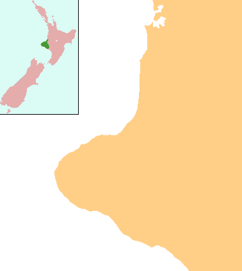
Tikorangi is a settlement in Taranaki, New Zealand. Waitara lies about 6 kilometres to the north-west. The Waitara River flows to the west of the settlement, with the Bertrand Road suspension bridge providing access to the other side.[1][2]
Tikorangi | |
|---|---|
 Tikorangi | |
| Coordinates: 39°2′2″S 174°16′47″E | |
| Country | New Zealand |
| Region | Taranaki |
| District | New Plymouth District |
Tikorangi's Jury Garden has been awarded the highest rating by the New Zealand Gardens Trust: Garden of National Significance. It is open to the public for part of the year.[3]
The Mangaemiemi or Otaraua Marae and Te Ahi Kaa Roa meeting house are a local meeting place for Otaraua, a hapū of [Te Āti Awa]].[4][5]
Tikorangi School is a coeducational contributing primary (years 1-6) school with a decile rating of 4 and a roll of 136.[6] Most of the students come from Waitara and travel by school bus each day.[7]
Notes
- Peter Dowling (editor) (2004). Reed New Zealand Atlas. Reed Books. pp. map 34. ISBN 0-7900-0952-8.CS1 maint: extra text: authors list (link)
- Roger Smith, GeographX (2005). The Geographic Atlas of New Zealand. Robbie Burton. pp. map 85. ISBN 1-877333-20-4.
- "Tikorangi The Jury Garden". Retrieved 8 July 2008.
- "Te Kāhui Māngai directory". tkm.govt.nz. Te Puni Kōkiri.
- "Māori Maps". maorimaps.com. Te Potiki National Trust.
- "Te Kete Ipurangi - Tikorangi School". Ministry of Education.
- "Education Review Report: Tikorangi School". Education Review Office. June 2006.