Malumichampatti
Kinathukadavu (also known as Kinathukadavu) is a residential village in the Coimbatore-South taluk, Coimbatore district, Tamil Nadu, India.[1] It is along the National Highway 209. It is a village panchayat and belongs to Kinathukadavu Legislative constituency.
Malumichampatti | |
|---|---|
Village | |
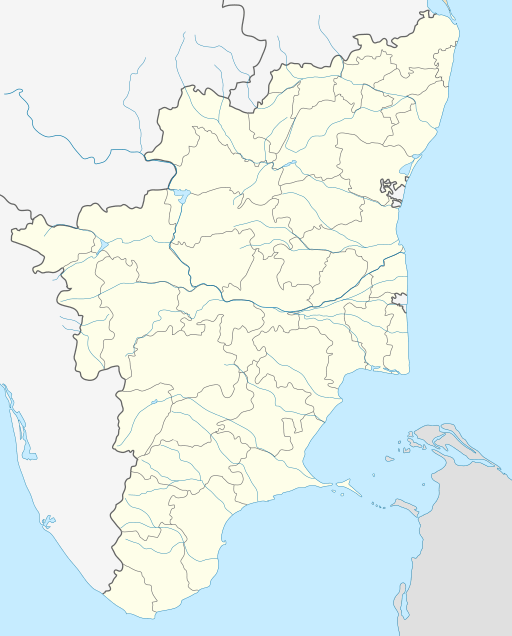 Malumichampatti Location in Tamil Nadu, India | |
| Coordinates: 10.905°N 77.000°E | |
| Country | |
| State | Tamil Nadu |
| District | Coimbatore |
| Elevation | 381 m (1,250 ft) |
| Population (2011) | |
| • Total | 12,936 |
| Languages | |
| • Official | Tamil |
| Time zone | UTC+5:30 (IST) |
| PIN | 642109 |
| Vehicle registration | TN-99 |
| Sex ratio | M 50.77% / F 49.23% |
| Literacy | 86.09% |
Geography
Malumichampatti is located at 10.905°N 77.000°E. It has an average elevation of 381 m (1250 ft).[2]
Demography
The population of the village according to the 2011 census of India is 12,936 with male population of 6568 and female population of 6368. The literacy rate of the village is 86.09%.[3]
gollark: That's an application *of* multitasking in general.
gollark: `parallel.waitFor{Any,All}(fn1, fn2)`
gollark: I can probably help with optimizing it - while my search thing is horrible on bigger datasets, it works okay on smaller ones!
gollark: That's probably wise.
gollark: I made a search engine (it's still up), but because search is hard it takes something like 60 seconds to return several thousand results.
References
- "Malumichampatti Village in Coimbatore South (Coimbatore) Tamil Nadu". Villageinfo.in. Retrieved 24 January 2019.
- "Malumichampatty, Tamil Nadu, India Map Lat Long Coordinates". Latlong.net. Retrieved 24 January 2019.
- "Malumichampatti Census Town City Population Census 2011-2019 - Tamil Nadu". Census2011.co.in. Retrieved 24 January 2019.
This article is issued from Wikipedia. The text is licensed under Creative Commons - Attribution - Sharealike. Additional terms may apply for the media files.