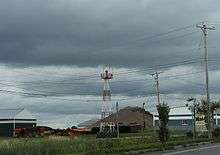
Malone-Dufort Airport
Malone-Dufort Airport (ICAO: KMAL, FAA LID: MAL) is two miles west of Malone, a village in the Town of Malone, Franklin County, New York.[1] The FAA's National Plan of Integrated Airport Systems for 2009–2013 categorized it as a general aviation facility.[2]
Malone-Dufort Airport | |||||||||||||||
|---|---|---|---|---|---|---|---|---|---|---|---|---|---|---|---|
 | |||||||||||||||
| Summary | |||||||||||||||
| Airport type | Public | ||||||||||||||
| Owner | Town of Malone | ||||||||||||||
| Serves | Malone, New York | ||||||||||||||
| Elevation AMSL | 790 ft / 241 m | ||||||||||||||
| Coordinates | 44°51′13″N 074°19′44″W | ||||||||||||||
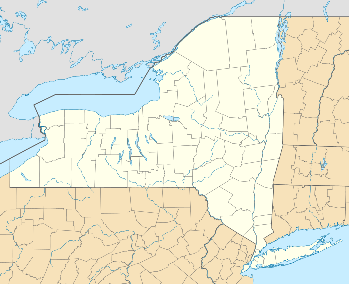
| Map | |||||||||||||||
 MAL | |||||||||||||||
| Runways | |||||||||||||||
| |||||||||||||||
| Statistics (2007) | |||||||||||||||
| |||||||||||||||
Many U.S. airports use the same three-letter location identifier for the FAA and IATA, but this facility is MAL to the FAA[1] and has no IATA code[3] (IATA assigned MAL to Mangole, Indonesia).[4]
The first airline flights were Colonial DC-3s in 1948; successor Eastern pulled out in 1959.
Facilities
Malone-Dufort Airport covers 135 acres (55 ha) at an elevation of 790 feet (241 m). It has two asphalt runways: 5/23 is 4,000 by 100 feet (1,219 x 30 m) and 14/32 is 3,245 by 75 feet (989 x 23 m).[1]
In the year ending December 7, 2007 the airport had 8,700 aircraft operations, average 23 per day: 92% general aviation, 6% air taxi, and 2% military. 14 aircraft were then based at the airport: 86% single-engine and 14% multi-engine.[1]
References
- FAA Airport Master Record for MAL (Form 5010 PDF). Federal Aviation Administration. Effective July 29, 2010.
- National Plan of Integrated Airport Systems for 2009–2013: Appendix A: Part 4 (PDF, 1.61 MB) Archived 2011-06-06 at the Wayback Machine. Federal Aviation Administration. Updated 15 October 2008.
- "Malone-Dufort Airport (FAA: MAL, ICAO: KMAL)". Great Circle Mapper. Retrieved October 14, 2010.
- "Mangole Airport, Indonesia (IATA: MAL, ICAO: WAPE)". Aviation Safety Network. Retrieved October 14, 2010.
External links
- Malone-Dufort (MAL) airport diagram from New York State DOT
- Aerial image as of May 1994 from USGS The National Map
- FAA Terminal Procedures for MAL, effective August 13, 2020
- Resources for this airport:
- FAA airport information for MAL
- AirNav airport information for MAL
- FlightAware airport information and live flight tracker
- SkyVector aeronautical chart for MAL