Maigetter Peak
Maigetter Peak (76°27′S 146°29′W) is a rock peak, the northernmost of the Birchall Peaks, on the south shore of Block Bay in Marie Byrd Land, Antarctica. It was discovered by the Byrd Antarctic Expedition (1928–30) and plotted from photos taken on the flight of December 5, 1929. The peak was mapped by the United States Geological Survey from surveys and U.S. Navy air photos (1959–65), and was named by the Advisory Committee on Antarctic Names for Robert Z. Maigetter, a biologist with the United States Antarctic Research Program Marie Byrd Land Survey II, 1967–68.[1]
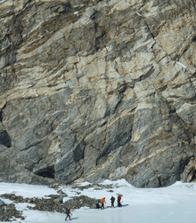
Migmatite geology at Maigetter Peak
References
- "Maigetter Peak". Geographic Names Information System. United States Geological Survey. Retrieved 2013-07-29.
![]()
This article is issued from Wikipedia. The text is licensed under Creative Commons - Attribution - Sharealike. Additional terms may apply for the media files.