Mae Tha District, Lampang
Mae Tha (Thai: แม่ทะ, pronounced [mɛ̂ː tʰáʔ]) is a district (amphoe) of Lampang Province, northern Thailand.
Mae Tha แม่ทะ | |
|---|---|
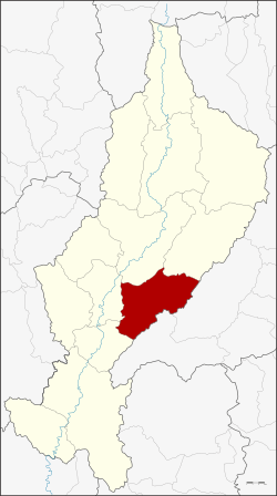 District location in Lampang Province | |
| Coordinates: 18°8′6″N 99°30′48″E | |
| Country | Thailand |
| Province | Lampang |
| Tambon | 10 |
| Muban | 95 |
| Area | |
| • Total | 810.543 km2 (312.952 sq mi) |
| Population (2015) | |
| • Total | 59,357 |
| • Density | 77.8/km2 (202/sq mi) |
| Time zone | UTC+7 (ICT) |
| Postal code | 52150 |
| Geocode | 5210 |
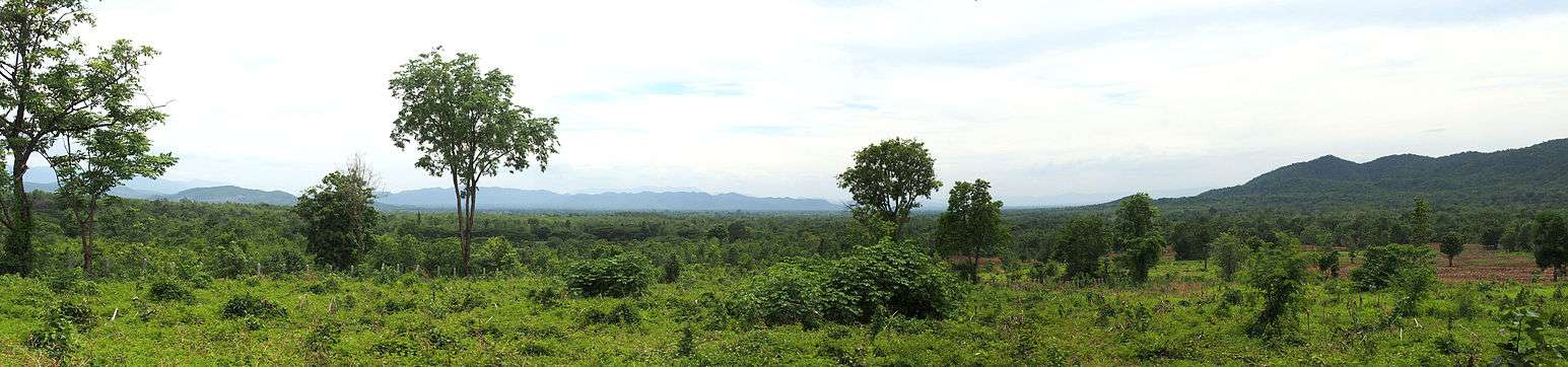
Geography
Neighboring districts are (from the south clockwise): Sop Prap, Ko Kha, Mueang Lampang, Mae Mo of Lampang Province, Long and Wang Chin of Phrae Province.
The Phi Pan Nam Mountains dominate the landscape of the district.
Administration
Central administration
Mae Tha is subdivided into 10 sub-districts (tambons), which are further subdivided into 95 administrative villages (mubans).
| No. | Name | Thai | Villages | Pop.[1] |
|---|---|---|---|---|
| 1. | Mae Tha | แม่ทะ | 10 | 6,863 |
| 2. | Na Khrua | นาครัว | 12 | 10,099 |
| 3. | Pa Tan | ป่าตัน | 9 | 6,171 |
| 4. | Ban Kio | บ้านกิ่ว | 10 | 4,430 |
| 5. | Ban Bom | บ้านบอม | 6 | 2,693 |
| 6. | Nam Cho | น้ำโจ้ | 10 | 9,967 |
| 7. | Don Fai | ดอนไฟ | 8 | 4,284 |
| 8. | Hua Suea | หัวเสือ | 12 | 6,442 |
| 10. | Wang Ngoen | วังเงิน | 9 | 3,668 |
| 11. | San Don Kaeo | สันดอนแก้ว | 9 | 4,740 |
The missing number 9 belongs to tambon Sop Pat, which is now part of the District Mae Mo.
Local administration
There are five sub-district municipalities (thesaban tambons) in the district:
- Pa Tan Na Khrua (Thai: เทศบาลตำบลป่าตันนาครัว) consisting of sub-district Pa Tan and parts of sub-district Na Khrua.
- Siri Rat (Thai: เทศบาลตำบลสิริราช) consisting of sub-district San Don Kaeo.
- Mae Tha (Thai: เทศบาลตำบลแม่ทะ) consisting of sub-district Mae Tha.
- Nam Cho (Thai: เทศบาลตำบลน้ำโจ้) consisting of sub-district Nam Cho.
- Na Khrua (Thai: เทศบาลตำบลนาครัว) consisting of parts of sub-district Na Khrua.
There are five sub-district administrative organizations (SAO) in the district:
- Ban Kio (Thai: องค์การบริหารส่วนตำบลบ้านกิ่ว) consisting of sub-district Ban Kio.
- Ban Bom (Thai: องค์การบริหารส่วนตำบลบ้านบอม) consisting of sub-district Ban Bom.
- Don Fai (Thai: องค์การบริหารส่วนตำบลดอนไฟ) consisting of sub-district Don Fai.
- Hua Suea (Thai: องค์การบริหารส่วนตำบลหัวเสือ) consisting of sub-district Hua Suea.
- Wang Ngoen (Thai: องค์การบริหารส่วนตำบลวังเงิน) consisting of sub-district Wang Ngoen.
gollark: It crash?!
gollark: Weeeird.
gollark: ++exec --debug```pythonprint("hi")```
gollark: ++exec --debug```pythonprint("hi")```
gollark: ++exec --debug```pythonprint("hi")```
References
- "Population statistics 2015" (in Thai). Department of Provincial Administration. Retrieved 2016-05-12.
External links
- amphoe.com (Thai)
This article is issued from Wikipedia. The text is licensed under Creative Commons - Attribution - Sharealike. Additional terms may apply for the media files.