Madgoul, Djibouti
Madgoul (Arabic: مدغول), also known as Madgul, is a town in the northern of Tadjoura Region. It is situated about 95 kilometres (59 miles) north of Tadjoura and 14 km (8 mi) east of the border with Ethiopia.
Madgoul مدغول | |
|---|---|
Town | |
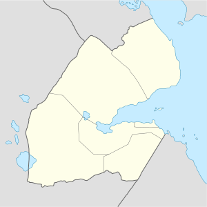 Madgoul مدغول Location in Djibouti | |
| Coordinates: 12°21′46″N 42°27′54″E | |
| Country | |
| Region | Tadjourah |
| Elevation | 307 m (1,007 ft) |
Climate
Madgoul has a hot desert climate (BWh) in Köppen-Geiger system.
| Climate data for Madgoul | |||||||||||||
|---|---|---|---|---|---|---|---|---|---|---|---|---|---|
| Month | Jan | Feb | Mar | Apr | May | Jun | Jul | Aug | Sep | Oct | Nov | Dec | Year |
| Average high °C (°F) | 28.0 (82.4) |
28.7 (83.7) |
30.6 (87.1) |
32.7 (90.9) |
35.8 (96.4) |
38.7 (101.7) |
39.2 (102.6) |
38.3 (100.9) |
36.6 (97.9) |
33.3 (91.9) |
30.5 (86.9) |
28.6 (83.5) |
33.4 (92.2) |
| Average low °C (°F) | 20.0 (68.0) |
21.0 (69.8) |
22.3 (72.1) |
24.1 (75.4) |
26.4 (79.5) |
29.1 (84.4) |
28.6 (83.5) |
28.0 (82.4) |
28.0 (82.4) |
24.3 (75.7) |
22.0 (71.6) |
20.8 (69.4) |
24.6 (76.2) |
| Average rainfall mm (inches) | 6 (0.2) |
9 (0.4) |
11 (0.4) |
11 (0.4) |
8 (0.3) |
4 (0.2) |
20 (0.8) |
26 (1.0) |
17 (0.7) |
7 (0.3) |
12 (0.5) |
8 (0.3) |
139 (5.5) |
| Source: Climate-Data.org, altitude: 307m[1] | |||||||||||||
gollark: Yes, which requires trusting you to never go around faking that.
gollark: Soqet has built in auth mechanisms.
gollark: It's designed to involve LESS trust in me than soqet is.
gollark: @6_4 Skynet has not and never will do that.
gollark: Though I don't know of other modern ones.
References
- "Climate: Madgoul - Climate graph, Temperature graph, Climate table". Climate-Data.org. Retrieved 25 September 2016.
This article is issued from Wikipedia. The text is licensed under Creative Commons - Attribution - Sharealike. Additional terms may apply for the media files.