Maamorilik
Maamorilik (old spelling: Mârmorilik or Maarmorilik, also Black Angel Mine) is a mining site in the Qaasuitsup municipality in northwestern Greenland. Holding resources of zinc, iron, lead, and silver,[1][2] the mine is 5 km (3.1 mi) long,[3] with its entry level situated 750 m (2,460 ft) above the sea level.[4]

Geography
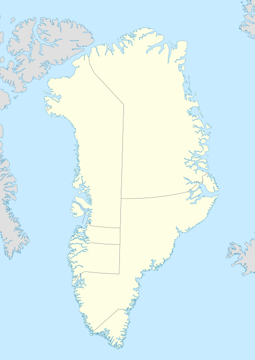
The mine is located approximately 24 km (15 mi) northeast of Ukkusissat in the Akuliarusikassak massif on the mainland of Greenland, on the southern shore of the Qaumarujuk Fjord, a tributary fjord of Perlerfiup Kangerlua, an inner branch of the Uummannaq Fjord.[5]
History
The first excavations in Maamorilik took place from 1938, possibly earlier, with operations continuing until 1945,[6] and again from 1973 to 25 July 1990[7] when the mine was closed. During seventeen years of operation, the mine yield of zinc ore amounted to 12 mln tonnes.[3]
Reactivation
In 2008[7] the government of Greenland decided to reinvigorate mining activities in Maamorilik, aiming to provide an economic lifeline to the communities of the Uummannaq region,[8] keeping the relatively new Qaarsut Airport open.[9] Proceeds from mineral resources exploitation will provide Greenland with a counterbalance to the lump-sum subsidies from Denmark.
The operations are carried out by Angel Mining plc, a UK-registered company.[3] As of April 2010, work continues on widening of the mine entrance to the required 300 m (980 ft).[4] The mine is due to reopen in 2013,[10] with zinc and iron ore reserves expected to last for 50 years.[11] Prospective employment is estimated at 110 people.[12]
Transport

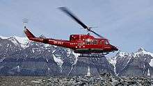
Ukkusissat Heliport is the closest aerodrome to the mining site, approximately 24 km (15 mi) to the southwest. As in the 1970s,[13] supplies for the mine reconstruction are carried out via Air Greenland charter flights, now operated with the Bell 212 helicopter stationed in Uummannaq Heliport, 42 km (26 mi) away.[14]
Heavy transport including mining products was and will be transported by ship. A port exists at the fjord. An aerial tramway was used to connect to the mine at 750 m above the fjord.
References
- Bureau of Minerals and Petroleum Archived 2010-07-27 at the Wayback Machine
- "Resources and Industry". Government of Greenland. Archived from the original on 23 February 2012. Retrieved 17 May 2010.
- Angel Mining plc
- "Maarmorilik udvides". Kalaallit Nunaata Radioa (in Danish). 27 April 2010. Retrieved 17 May 2010.
- Nuussuaq (Map) (1992 ed.). Tage Schjøtt, Denmark.
- GF Greenland 1991, pg 140 by Eric Wowern
- Greenland Employers Association
- "Future of lead mine uncertain". Sermitsiaq. Retrieved 17 May 2010.
- "Lufthavne bliver ikke lukket". Sermitsiaq (in Danish). 17 October 2007. Archived from the original on 5 July 2008. Retrieved 17 May 2010.
- "Significant Progress at Black Angel Zinc/Lead Mine". Angel Mining plc. Retrieved 25 October 2012.
- "Maarmorilik har zink og jern til 50 år". Kalaallit Nunaata Radioa (in Danish). 27 April 2010. Retrieved 17 May 2010.
- "Maarmorilik genåbnes i år". Sermitsiaq (in Danish). 11 January 2008. Retrieved 17 May 2010.
- "Grønlandsfly 1970-79" (in Danish). Air Greenland. Archived from the original on 28 May 2010. Retrieved 17 May 2010.
- "Black Angel News, the newsletter about the Black Angel Project in Greenland" (PDF). Angelmining plc. Retrieved 19 May 2010.