Mørkdalstuva
Mørkdalstuva or Mørkdalstua is the tallest mountain on the island of Hitra in the municipality of Hitra in Trøndelag county, Norway. The 345-metre (1,132 ft) tall mountain lies on the western side of the island, about 8 kilometres (5.0 mi) northeast of the village of Forsnes and 7.5 kilometres (4.7 mi) southeast of the village of Kvenvær.[1]
| Mørkdalstuva | |
|---|---|
| Mørkdalstua | |
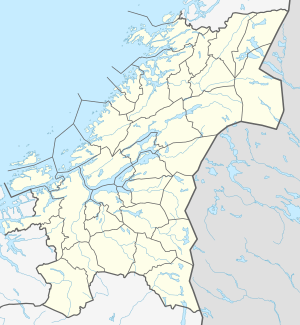 Mørkdalstuva Location of the mountain 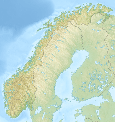 Mørkdalstuva Mørkdalstuva (Norway) | |
| Highest point | |
| Elevation | 345 m (1,132 ft) |
| Prominence | 345 m (1,132 ft) |
| Isolation | 15.1 to 15.12 km (9.38 to 9.40 mi) |
| Coordinates | 63.4940°N 08.5139°E [1] |
| Geography | |
| Location | Trøndelag, Norway |
| Topo map | 1421 IV Skardsøya |
Name
The mountain is named after the Mørkdalen valley. The last element is the finite form of tuve or tue which means "tussock". The valley name Mørkdalen is a compound of mørk which means "dark" and the finite form of dal which means "dale" or "valley".
gollark: (ABR activity tracking)
gollark: This looks quite cool now it's populated.
gollark: (it's written in python)
gollark: This is a clean build of the Random Stuff API, singlethreadedly also.
gollark: "serverwatch" has no support for webhooks, but it does have push notifications so I bet I could tweak it eventually.
This article is issued from Wikipedia. The text is licensed under Creative Commons - Attribution - Sharealike. Additional terms may apply for the media files.