Lunde, Vest-Agder
Lunde is a village in Søgne municipality in Vest-Agder county, Norway. The village is located along the European route E39 highway and along the river Lundeelva. The village is surrounded by several other villages that together form the greater Søgne urban area. The village of Lohne lies about 2 kilometres (1.2 mi) to the west, Vedderheia lies about 1 kilometre (0.62 mi) to the north, Eig lies about 1 kilometre (0.62 mi) to the southeast, and Tangvall lies about 2 kilometres (1.2 mi) to the east. The village of Ausviga lies about 2 kilometres (1.2 mi) to the south, but it is not part of the greater Søgne urban area.
Lunde | |
|---|---|
Village | |
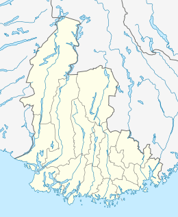
 Lunde Location of the village  Lunde Lunde (Norway) | |
| Coordinates: 58°05′44″N 07°46′56″E | |
| Country | Norway |
| Region | Southern Norway |
| County | Vest-Agder |
| District | Kristiansand |
| Municipality | Søgne |
| Elevation | 9 m (30 ft) |
| Time zone | UTC+01:00 (CET) |
| • Summer (DST) | UTC+02:00 (CEST) |
| Post Code | 4640 Søgne |
The village of Lunde was the administrative centre of Søgne municipality until 1974 when it was moved to neighboring Tangvall. Lunde is also the site of the "new" Søgne Church which was built in 1861 to replace the Old Søgne Church located a few kilometers away. There is also an elementary school in Lunde.[2]
As a part of the greater Søgne urban area, separate population statistics are not tracked for Lunde. Altogether, the 5.87-square-kilometre (1,450-acre) urban area has a population (2015) of 9,147 which gives it a population density of 1,558 inhabitants per square kilometre (4,040/sq mi).[3]
References
- "Lunde, Søgne (Vest-Agder)". yr.no. Retrieved 2017-01-01.
- Store norske leksikon. "Søgne – tettstedet" (in Norwegian). Retrieved 2017-01-01.
- Statistisk sentralbyrå (1 January 2015). "Urban settlements. Population and area, by municipality".