Long Rapung
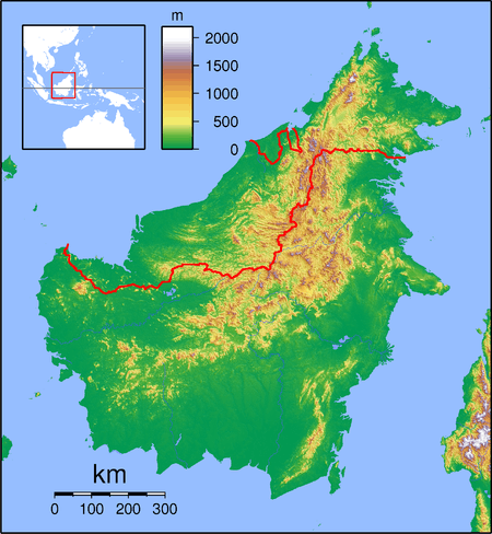
Long Rapung is a former settlement in the Marudi division of Sarawak, Malaysia.[1][2] It lies approximately 634.8 kilometres (394 mi) east-north-east of the state capital Kuching. Long Rapung lies in the Dapur River floodplain. It was formerly a village but was evacuated during the Confrontation.[3] Now the shelters provide overnight accommodation hunters and for visitors walking to Ba Kelalan or climbing Gunung Murud.[4]
Long Rapung | |
|---|---|
 Long Rapung | |
| Coordinates: 3.86667°N 115.56667°E | |
| Country | |
| State | |
| Administrative Division | Marudi |
| Elevation | 1,443 m (4,734 ft) |
Neighbouring settlements include:
- Pa Lungan 8.3 kilometres (5.2 mi) southwest
- Punang Kelalan 10.8 kilometres (6.7 mi) northeast
- Ba Kelalan 14.1 kilometres (8.8 mi) northeast
- Long Komap 14.1 kilometres (8.8 mi) northeast
- Long Langai 14.1 kilometres (8.8 mi) northeast
- Long Muda 14.1 kilometres (8.8 mi) northeast
- Long Lamutut 14.1 kilometres (8.8 mi) northeast
- Long Ritan 15.8 kilometres (9.8 mi) north
- Pa Rusa 15.8 kilometres (9.8 mi) north
- Pa Umor 15.8 kilometres (9.8 mi) south
References
- M. Mohizah, S. Julia and W. K. Soh (2006). A Sarawak Gazetteer (PDF). Kuala Lumpur: Sarawak Forestry Department Malaysia and Forest Research Institute Malaysia. ISBN 983-2181-86-0. OCLC 85818866. Archived from the original (PDF) on 2011-07-22. Retrieved 2011-01-01.
- "Long Rapung, Malaysia". Geonames. 1994-02-10. Retrieved 2010-12-27.
- John H. Beaman (June 1999). "Preliminary Enumeration of the Summit Flora, Mount Murud, Kelabit Highlands, Sarawak" (PDF). ASEAN Review of Biodiversity and Environmental Conservation (ARBEC). Archived from the original (PDF) on 2011-07-19. Retrieved 2011-01-28.
- "Long Rapung our 1st nightstop. infested with sandflies, they are worst [sic] than mossies". Retrieved 2011-01-28.
This article is issued from Wikipedia. The text is licensed under Creative Commons - Attribution - Sharealike. Additional terms may apply for the media files.