Loi Hkilek
Loi Hkilek or Loi Kyi-lek is a mountain of the Shan Hills, in Shan State, Burma.[1]
| Loi Hkilek | |
|---|---|
| Loi Kyi-lek | |
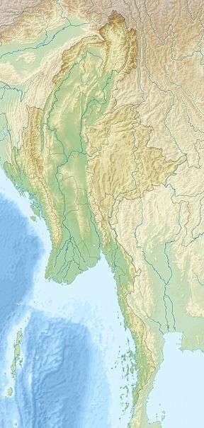 Loi Hkilek Location in Burma | |
| Highest point | |
| Elevation | 1,973 m (6,473 ft) [1] |
| Listing | List of mountains in Burma |
| Coordinates | 20°2′32″N 98°49′19″E [1] |
| Geography | |
| Location | Shan State, Myanmar |
| Parent range | Shan Hills |
| Climbing | |
| First ascent | unknown |
| Easiest route | climb |
Geography
Loi Hkilek is located about 11 km to the northeast of Möng Kyawt (Mongkyawt) in Mong Ton Township of Mongsat District.[2] Although this mountain is mentioned in the Imperial Gazetteer of India as "a 2,133 high mountain located in Mongkyawt District",[3] its actual elevation is 1,973 m.[1]
gollark: This is why TJ08 is never spoken of.
gollark: No. TJ08 did it.
gollark: ...?
gollark: I should really go to sleep, but they might answer any minute with some other terrible excuse...
gollark: Wait, there are two?
See also
- List of mountains in Burma
References
- GoogleEarth
- "Loi Kyi-lek". Mapcarta. Retrieved 26 May 2016.
- Imperial Gazetteer of India, v. 17, p. 407
This article is issued from Wikipedia. The text is licensed under Creative Commons - Attribution - Sharealike. Additional terms may apply for the media files.