Llanwnda, Pembrokeshire
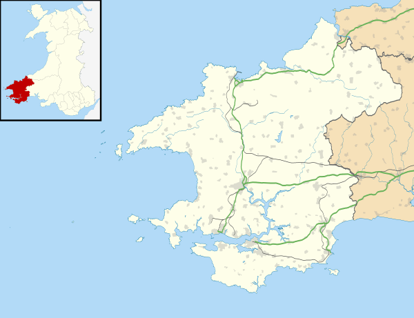
Llanwnda is a rural village and parish[1] to the north of the Welsh county of Pembrokeshire and part of the community of Pencaer. It lies some two miles northwest of the port of Fishguard and is inside the boundaries of the Pembrokeshire Coast National Park.
| Llanwnda | |
|---|---|
 Llanwnda Location within Pembrokeshire | |
| OS grid reference | SM932395 |
| Community |
|
| Principal area | |
| Ceremonial county |
|
| Country | Wales |
| Sovereign state | United Kingdom |
| Post town | GOODWICK |
| Dialling code | 01348 |
| Police | Dyfed-Powys |
| Fire | Mid and West Wales |
| Ambulance | Welsh |
| UK Parliament | |
| Senedd Cymru – Welsh Parliament |
|
History
Ancient and ritualistic remains are scattered about the area of the parish, indicating occupation from prehistoric times.[2]
The hamlet of Trefasser, according to topographer Samuel Lewis, was stated to be the birthplace of Asser, the biographer of the 9th century king of Wessex, Alfred the Great. In about 1076, forces of north and south Wales met in battle, with the north Welsh victorious. Lewis also noted that Gerald of Wales was incumbent in the parish for a time in the 12th century.[2]

To the north of the village is the rocky outcrop of Garnwnda, which was the site of a French soldiers' camp during the Battle of Fishguard in 1797. A tattered Welsh Bible of 1620, in Llanwnda church, is said to have been rescued from the hands of the French invaders.[3]
On the north side of Garnwnda is a prominent cromlech excavated by John Fenton in 1847.[4]
Parish
The coastal parish of Llanwnda (as Llanunda) appears on a 1578 parish map of Pembrokeshire.[5] Included in the parish are numerous small settlements and the town of Goodwick as well as the village of Llanwnda. The most northerly point is Strumble Head.[6]
Lewis, in his 1833 Topographical Dictionary of Wales, noted the population of the parish as 1,046.[1]
The parish church of St Gwyndaf, situated in a walled churchyard, has mediaeval origins and was extensively restored in the 19th century.[1] It is a Grade II* listed building.[7][8]
In popular culture

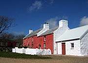
Llanwnda came to a degree of national prominence in the summer of 2007 following the purchase of a semi-derelict farmhouse (Trehilyn) by the broadcaster Griff Rhys Jones and the ensuing BBC television documentary, A Pembrokeshire Farm, which recorded its restoration.[9]
References
- "GENUKI: Llanwnda". Retrieved 2 May 2019.
- A Topographical Dictionary of Wales. GENUKI. 1833. Retrieved 19 April 2020.
- Becky Hotchin (2 January 2018). "Last invasion Llanwnda Bible to go on display". Western Telegraph. Retrieved 2 January 2018.
- Archaeologia Cambrensis (No XII – Oct 1848 ed.). Cambrian Archaeological Association. 1847. pp. 283. Retrieved 5 June 2014.
- "Penbrok comitat". British Library.
- "GENUKI Parish map 33". Retrieved 19 April 2020.
- "Church of St.gwyndaf,llanwnda, Pencaer". British Listed Buildings. Retrieved 30 December 2013.
- Cadw. "Church of St Gwyndaf (Grade II*) (12980)". National Historic Assets of Wales. Retrieved 19 April 2020.
- "BBC Programmes: A Pembrokeshire Farm". Retrieved 19 April 2020.
- The geographic coordinates are from the Ordnance Survey.
External links
- Further historical information and sources on GENUKI
- TV programme details
- Map sources for Llanwnda, Pembrokeshire