Littenseradiel
Littenseradiel (![]()
Littenseradiel Littenseradeel | |
|---|---|
 Canal through Wjelsryp | |
 Flag  Coat of arms | |
.svg.png) Location in Friesland | |
| Coordinates: 53°7′N 5°35′E | |
| Country | Netherlands |
| Province | Friesland |
| Established | 1 January 1984 |
| Government | |
| • Body | Municipal council |
| • Mayor | Johanneke Liemburg (PvdA) |
| Area | |
| • Total | 132.64 km2 (51.21 sq mi) |
| • Land | 130.75 km2 (50.48 sq mi) |
| • Water | 1.89 km2 (0.73 sq mi) |
| Elevation | 1 m (3 ft) |
| Time zone | UTC+1 (CET) |
| • Summer (DST) | UTC+2 (CEST) |
| Postcode | Parts of 8000 and 9000 range |
| Area code | 0515, 0517, 058 |
| Website | www |
Population centers
Baaium, Baard, Bears, Boazum, Britswert, Easterlittens, Easterwierrum, Hidaard, Hilaard, Hinnaard, Húns, Iens, Itens, Jellum, Jorwert, Kûbaard, Leons, Lytsewierrum, Mantgum, Reahûs, Rien, Spannum, Waaksens, Weidum, Winsum, Wiuwert, Wjelsryp, Wommels.
Topography
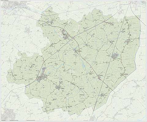
Dutch topographic map of the municipality of Littenseradiel, June 2015
References
- "Samenstelling en taken van college b en w" [Members and tasks of the board of mayor and aldermen] (in Dutch). Gemeente Littenseradiel. Archived from the original on 23 September 2013. Retrieved 21 September 2013.
- "Kerncijfers wijken en buurten" [Key figures for neighbourhoods]. CBS Statline (in Dutch). CBS. 2 July 2013. Retrieved 12 March 2014.
- "Postcodetool for 8731BN". Actueel Hoogtebestand Nederland (in Dutch). Het Waterschapshuis. Archived from the original on 21 September 2013. Retrieved 21 September 2013.
External links

- Official website
Neighbouring municipalities at time of dissolution | ||||||||||
|---|---|---|---|---|---|---|---|---|---|---|
| ||||||||||