List of crossings of the St. Johns River
This is a list of bridges and other crossings of the Saint Johns River.
| Wikimedia Commons has media related to Crossings of the St. Johns River. |
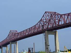
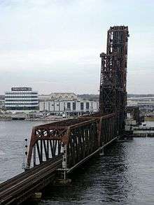
Crossings


gollark: Use ++remind instead.
gollark: Seems good.
gollark: Exactly. Tux1 gets it.
gollark: We are engaged in initiation of ☭ Protocol 1299H.
gollark: no.
See also


- List of crossings of the Aucilla River
- List of crossings of the Halifax River
- List of crossings of the Ochlockonee River
- List of crossings of the Suwannee River
This article is issued from Wikipedia. The text is licensed under Creative Commons - Attribution - Sharealike. Additional terms may apply for the media files.