Lissacresig
Lissacresig is a ringfort (rath) and National Monument (#571) located in County Cork, Ireland.[2]
Lios an Chraosaigh | |
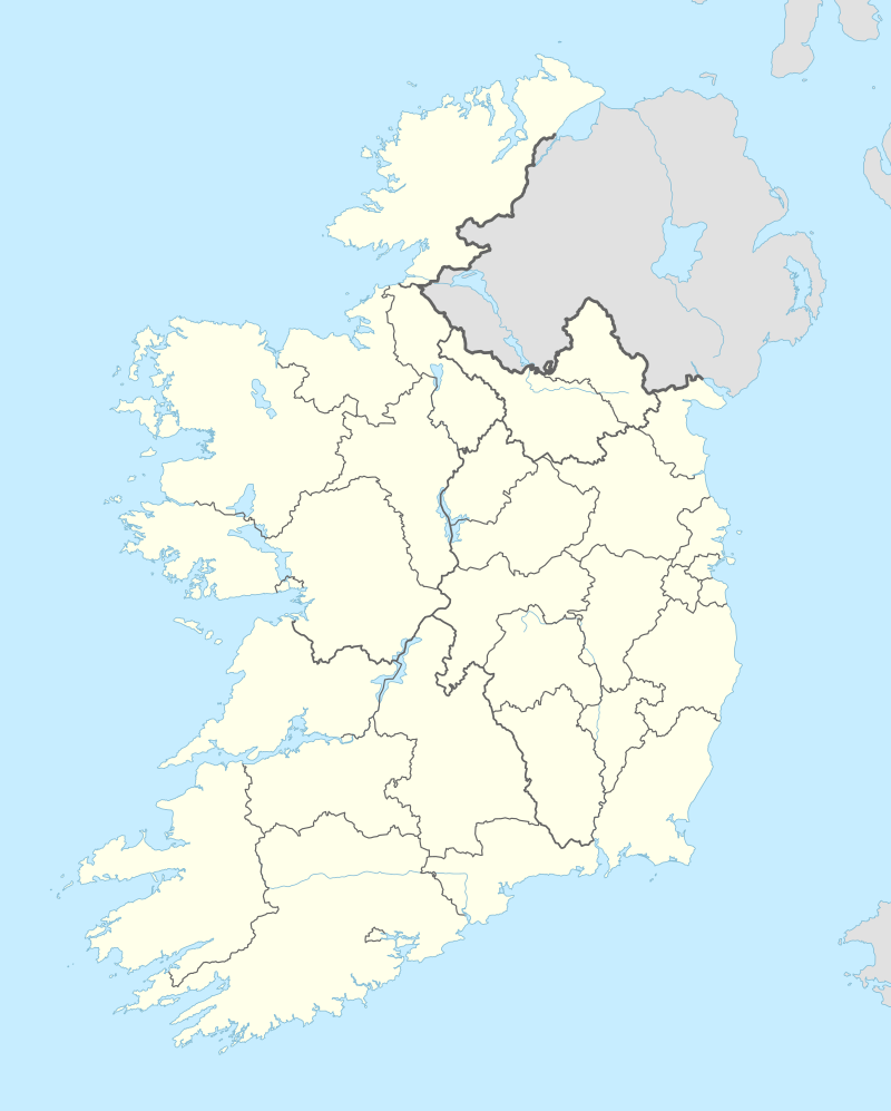 Shown within Ireland | |
| Location | Lissacresig, Macroom, County Cork, Ireland |
|---|---|
| Coordinates | 51.924359°N 9.055811°W |
| Type | ringfort and axial stone circle |
| Area | 3,760 m2 (0.907 ac) |
| History | |
| Material | earth |
| Founded | c. AD 550–900 |
| Cultures | Gaelic Ireland |
| Site notes | |
| Ownership | state[1] |
| Designation |
National Monument of Ireland |
Location
Lissacresig is located 6.7 km west-northwest of Macroom, in the hills between the River Sullane and River Foherish.
History and description
Lissacresig is a circular lios, 70 m (230 ft) in diameter with entrances in the southwest and northeast corners.[3] The name means "ringfort of the glutton."[4] Ringforts of this type were mostly built c. AD 550–900. Internally people were housed in wooden huts. Another fort lies 900 m to the northwest; this may have served as a livestock enclosure.[5] There are three monoliths (gallauns) and an axial stone circle in the area as well. The stone circle is formed of five large boulders; unusually, the axial stone is the longest.[6][7][8]
References
- http://www.heritageireland.ie/media/Listing%207%20January%202003.xls
- https://www.oireachtas.ie/parliament/media/committees/pac/correspondence/2014-meeting1180603/%5B%5D[PAC-R-1288]-Correspondence-3A.4-OPW-Appendix-4B.pdf
- "25-inch OS map". Archived from the original on 2011-02-13. Retrieved 2017-02-06.
- "Lios an Chraosaigh/Lissacresig".
- "Unpublished Excavations: RINGFORTS".
- "Lissacresig".
- Burl, Aubrey (1 January 2005). "A Guide to the Stone Circles of Britain, Ireland and Brittany". Yale University Press – via Google Books.
- http://www.eirgridgroup.com/site-files/library/EirGrid/Appendix%20C-2%20Cultural%20Heritage%20Report%20(inc.%20History).pdf