Lismacrory Mounds
Lismacrory Mounds are a group of prehistoric mounds forming a National Monument located in County Tipperary, Ireland.[2]
Dumhaí Lios Mhic Ruairí | |
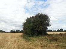
 Main ringfort | |
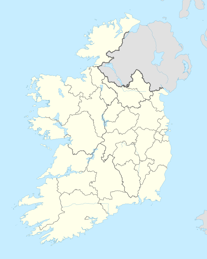 Shown within Ireland | |
| Location | Lismacrory, Roscrea, County Tipperary, Ireland |
|---|---|
| Region | Shannon Valley |
| Coordinates | 53.037778°N 8.031667°W |
| Altitude | 85 m (279 ft) |
| Type | cairns[1] |
| History | |
| Material | stone, earth |
| Periods | Bronze or Iron Age (c. 2400 BC – AD 400) |
National Monument of Ireland | |
| Official name | Lismacrory Mounds |
| Reference no. | 348 |
Location
Lismacrory Mounds are located 2.2 km (1.4 mi) north of Ballingarry, North Tipperary, 10 km (6.3 mi) southeast of Lough Derg.
Description
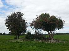
Another view of the main ringfort.
There are about 20 mounds in the area; these cairns were originally viewed as burial sites, but are now thought to be piles of stones discarded from fulachtaí fia.[3][4] Other structures recorded here include ringforts, dwellings and enclosure sites.[5]
gollark: systemd-boot is not actually very related to systemd except in branding.
gollark: It's probably still better than the CPU.
gollark: GPUs can do that sort of parallel work very fast.
gollark: Have you tried offloading the hashing bits to the GPU?
gollark: Actually, you can calculate it from the aspect ratio (usually 16:9) and diagonal, I guess.
References
- "Nenagh Guardian from Nenagh, on January 2, 1960 · Page 5".
- Gleeson, John (1 January 1982). "History of the Ely O'Carroll Territory Or Ancient Ormond". Roberts' Books – via Google Books.
- "Lismacrory".
- "Take a Walking Holiday in Beara".
- https://www.archaeology.ie/sites/default/files/media/pdf/Archaeology-RMP-Tipperary-(NR)-Manual-(1998)-0046.pdf
This article is issued from Wikipedia. The text is licensed under Creative Commons - Attribution - Sharealike. Additional terms may apply for the media files.