Lights Creek
Lights Creek is a 19-mile (31 km) long[1] stream in Plumas County, California and is a tributary of Indian Creek, part of the Feather River watershed.
| Lights Creek | |
|---|---|
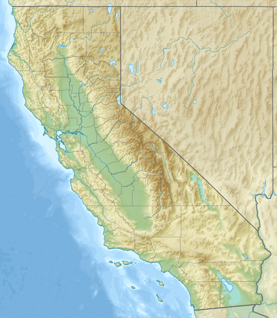 Location of Lights Creek in California | |
| Location | |
| Country | United States |
| State | California |
| Physical characteristics | |
| Source | Diamond Mountains |
| • coordinates | 40°18′40″N 120°44′15″W[1] |
| • elevation | 6,478 ft (1,974 m) |
| Mouth | Indian Creek |
• location | Near Taylorsville |
• coordinates | 40°05′58″N 120°51′02″W[1] |
• elevation | 3,514 ft (1,071 m) |
| Length | 19 mi (31 km)[1] |
| Basin size | 57.6 sq mi (149 km2)[2] |
| Discharge | |
| • location | Near the mouth, at Taylorsville[2] |
| • average | 42.7 cu ft/s (1.21 m3/s)[2] |
| • minimum | 1.43 cu ft/s (0.040 m3/s) |
| • maximum | 2,440 cu ft/s (69 m3/s) |
The creek begins in the Diamond Mountains, near the border of Plumas and Lassen County. It flows in a south-southwesterly direction through a high mountain valley in the Plumas National Forest. About two-thirds of the way down from its source, it enters the North Arm of Indian Valley, which is used for farming and ranching. It joins Indian Creek on the right bank about a mile (1.6 km) north of Taylorsville.[3]
See also
References
- "Lights Creek". Geographic Names Information System. United States Geological Survey. 1981-01-19. Retrieved 2017-01-15.
- "USGS Gage #11401300 Lights Creek near Taylorsville, CA". National Water Information System. U.S. Geological Survey. 1957–1962. Retrieved 2017-01-15.
- USGS Topo Maps for United States (Map). Cartography by United States Geological Survey. ACME Mapper. Retrieved 2017-01-15.
This article is issued from Wikipedia. The text is licensed under Creative Commons - Attribution - Sharealike. Additional terms may apply for the media files.