Letha Taung
Letha Taung, also known as the Singu Plateau,[2] is a small volcanic plateau in central Burma (Myanmar).
| Letha Taung | |
|---|---|
| Singu Plateau | |
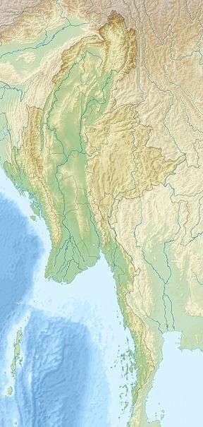 Letha Taung Location in Burma | |
| Highest point | |
| Elevation | 493 m (1,617 ft) [1] |
| Listing | List of mountains in Burma |
| Coordinates | 22°41′N 95°58′E [1] |
| Geography | |
| Location | Mandalay Division, Myanmar |
| Parent range | Foothills of the Shan Hills |
| Climbing | |
| First ascent | unknown |
| Easiest route | climb |
Geography
Letha Taung is located near Nweyon, Singu Township, Pyinoolwin District, Mandalay Division, about 3 km west of National Highway 31.[3] The lavas that form the plateau originally came from fissure vents during the Holocene, although the date of the last eruption is unknown.[4]
gollark: Though saying "we'll just magically fix everything for Easter" isn't... really good in either way.
gollark: You have to make tradeoffs between saving lives now and keeping the economy from imploding, and can't just go "we'll save one extra life even if it costs a trillion $".
gollark: We use a lot of economic output on stuff like healthcare and education and whatnot which have a large impact on future quality of life.
gollark: As I have said a lot, the economy does *matter*.
gollark: I'm staying at home and live in the middle of nowhere anyway, so I can hardly *check*.
See also
- List of mountains in Burma
- List of volcanoes in Burma
References
- GoogleEarth
- AVA - Singu Plateau
- "Letha Taung". Mapcarta. Retrieved 28 May 2016.
- "Singu Plateau". Global Volcanism Program. Smithsonian Institution.
This article is issued from Wikipedia. The text is licensed under Creative Commons - Attribution - Sharealike. Additional terms may apply for the media files.