Lerchenauer Straße
The Lerchenauer Straße is a 5.5 km long arterial road in Munich.
Description
Lerchenauer Straße runs from Schleissheimer Straße east of the Olympiapark (with access to the Central Hochschule Sports Complex, a bunker, the Olympic Village and the Studenten quarters via the Helene-Mayer-Ring and Connollystrasse) at the BMW Welt, the BMW Museum and passed the U-Bahn -Bahnhof Olympiazentrum in north-north-west direction near the Dreiseenplatte up to the Plaumstraße in Feldmoching. It crosses the Moosacher Straße and the Georg-Brauchle-Ring / Petuelring. The Lerchenauer Straße therefore crosses the districts of Schwabing, Am Riesenfeld and Feldmoching. North of Moosacher Straße, it crosses the Munich North Ring through an underpass at the Milbertshofen station. South of the Feldmoching railway station, the Lerchenauer Straße crosses the connecting route of Feldmoching to the North Ring and the Munich–Regensburg railway on two over passes.
The Lerchenauer Straße was named after the colony of Lerchenau, which has been part of Feldmoching since 1901 on the outskirts of Munich and was incorporated into Munich in 1938.[1] Until 1946 the Lerchenauer Straße was called Münchner Straße.[2]
Images
 Olympiapark
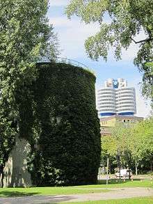 Hochbunker
- BMW-Museum
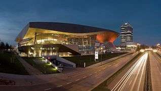 BMW-Welt
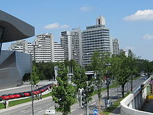 Olympia-Tower
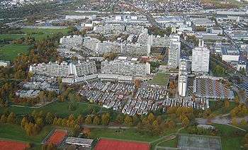 Olympic Village, Studentenviertel Oberwiesenfeld und ZHS
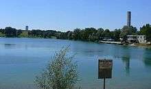 Lerchenauer See
References
- "Wilde Siedlung an der Stadtgrenze bei Karlsfeld" (in German). Portal München. Retrieved 26 July 2017.
- "Siedlerverein feiert 75jähriges Bestehen" (in German). Redaktion LA24Muc. 15 July 2011. Retrieved 26 July 2017.