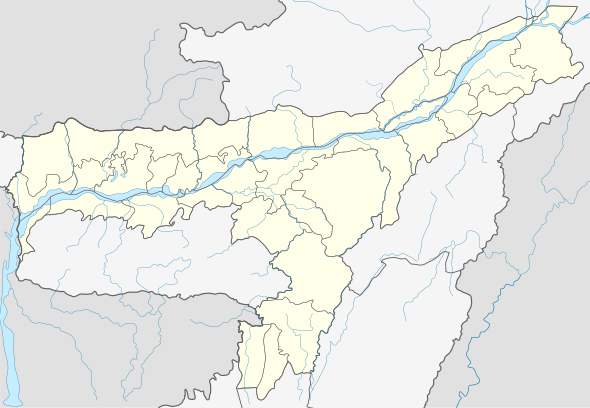
Lekhapani
Lekhapani is a town in Tinsukia district, Assam, India.
Lekhapani লেখাপানী | |
|---|---|
town | |
 Lekhapani Location in Assam, India  Lekhapani Lekhapani (India) | |
| Coordinates: 27°19′0″N 95°54′0″E | |
| Country | |
| State | Assam |
| District | Tinsukia |
| Elevation | 150 m (490 ft) |
| Languages | |
| • Official | Assamese |
| Time zone | UTC+5:30 (IST) |
| PIN | 786182 |
| ISO 3166 code | IN-AS |
| Vehicle registration | AS |
| Coastline | 0 kilometres (0 mi) |
Geography
It is located at an elevation of 150 m above MSL.[1]
Transport
Lekhapani is connected by National Highway 38 to Makum. National Highway 153 which connects Ledo to Indo-Myanmar border across Pangsau Pass passes through Lekhapani. Lekhapani railway station is a defunct one but surveys are on to extend the line to Kharsang and revive the station.
Nearest towns and villages
gollark: What do you mean too much?
gollark: But seriously, if we just use SCP-[REDACTED] to erase everyone's knowledge of gender, we could fix\* so many\*\* problems!
gollark: yes.
gollark: Since you cannot entirely change sex with current technology, and some medical procedures and such are limited to one actual physical sex, you NEED A DISTINCTION.
gollark: no pronouns > gender neutral pronouns
References
- Map and weather of Lekhapani. fallingrain.com
This article is issued from Wikipedia. The text is licensed under Creative Commons - Attribution - Sharealike. Additional terms may apply for the media files.