Mount Lawu
Mount Lawu, or Gunung Lawu, is a massive compound stratovolcano straddling the border between East Java and Central Java, Indonesia. The north side is deeply eroded and the eastern side contains parasitic crater lakes and parasitic cones. A fumarolic area is located on the south flank at 2,550 m. The only reported activity of Lawu took place in 1885, when rumblings and light volcanic ash falls were reported.[1]
| Mount Lawu | |
|---|---|
| Gunung Lawu | |
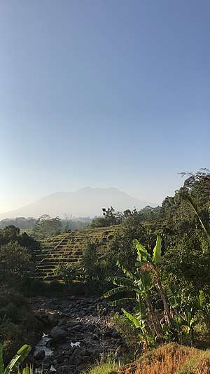 Lawu in 2018 | |
| Highest point | |
| Elevation | 3,265 m (10,712 ft) [1] |
| Prominence | 3,118 m (10,230 ft) [2] Ranked 76th |
| Isolation | 127 km (79 mi) |
| Listing | Ultra Ribu |
| Coordinates | 07°37′30″S 111°11′30″E [1] |
| Geography | |
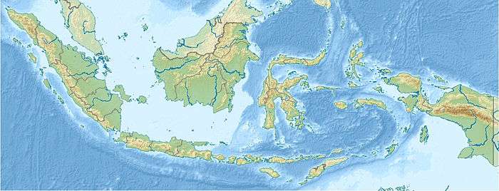 Mount Lawu Location in Java, Indonesia 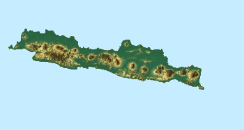 Mount Lawu Mount Lawu (Java) | |
| Location | Java, Indonesia |
| Geology | |
| Mountain type | Stratovolcano |
| Last eruption | 28 November 1885 |
Cultural features
The western slopes of Lawu have a number of graveyards - including Astana Giribangun and Mangkunegaran
Earlier structures on the western slopes also include Candi Ceto and Candi Sukuh
gollark: So, anyone know how the sell/buy price of memes works? The guide just says it's based on demand somehow, which seems really weird.
gollark: Hi.
gollark: For a reason.
gollark: You know, I assume I used proxy_url, but I don't know why.
gollark: Fiiiine.
See also
- List of volcanoes in Indonesia
- List of Ultras of Malay Archipelago
References
- "Lawu". Global Volcanism Program. Smithsonian Institution. Retrieved 2006-12-26.
- "Indonesian high-prominence peaks". peaklist.org. Retrieved 2006-12-30.
External links
This article is issued from Wikipedia. The text is licensed under Creative Commons - Attribution - Sharealike. Additional terms may apply for the media files.