Langvassåga
Langvassåga is a river that flows out of the lake Langvatnet in the municipality of Rana in Nordland county, Norway. It flows in a southeastern direction and almost immediately, it is joined by the river Røvassåga. It then continues a short distance southwards before joining the main river Ranelva, just south of the village of Røssvoll. The Langvassåga catchment area covers about 1,114 square kilometres (430 sq mi). The river passes by the Mo i Rana Airport, Røssvoll.[1]
| Langvassåga | |
|---|---|
Langvassåga west of the bridge | |
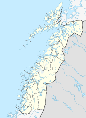
 Location of the river  Langvassåga (Norway) | |
| Location | |
| Country | Norway |
| County | Nordland |
| Municipalities | Rana Municipality |
| Physical characteristics | |
| Source | Langvatnet |
| • location | Rana, Norway |
| • coordinates | 66.3818257°N 14.2541416°E |
| • elevation | 46 metres (151 ft) |
| Mouth | Ranelva |
• location | Rana, Norway |
• coordinates | 66.3532831°N 14.3185419°E |
• elevation | 44 metres (144 ft) |
| Length | 6.5 km (4.0 mi) |
| Basin size | 1,114 km2 (430 sq mi) |
| Basin features | |
| River system | Ranelva |
Media gallery
- Langvassåga west of the bridge
- Langvassåga meets Ranelva east of the bridge
gollark: PPCG rules forbid using language versions newer than the question.
gollark: These are a data structure which exists*.
gollark: Skip lists?
gollark: And possibly use a lot of mirrors.
gollark: If you set one side to opaque mode.
See also
- List of rivers in Norway
References
- Store norske leksikon. "Langvatnet – innsjø i Rana" (in Norwegian). Retrieved 2011-12-28.
This article is issued from Wikipedia. The text is licensed under Creative Commons - Attribution - Sharealike. Additional terms may apply for the media files.