Landsborough County
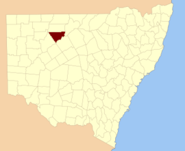
Landsborough County is one of the 141 Cadastral divisions of New South Wales. It is located to the north-west of the Darling River.
| Landsborough New South Wales | |||||||||||||||
|---|---|---|---|---|---|---|---|---|---|---|---|---|---|---|---|
 Location in New South Wales | |||||||||||||||
| |||||||||||||||
Landsborough County was named in honour of the explorer William Landsborough (1825-1886).[1]
Parishes within this county
A full list of parishes found within this county; their current LGA and mapping coordinates to the approximate centre of each location is as follows:
gollark: It would probably make more sense to make a web version or something.
gollark: I really ought to organize my giant pile of random scripts that way.
gollark: Which seems just like spikier tan, so it'll look like the tan one.
gollark: Though it doesn't talk about homemade mask things.
gollark: https://slatestarcodex.com/2020/03/23/face-masks-much-more-than-you-wanted-to-know/
References
- "Landsborough". Geographical Names Register (GNR) of NSW. Geographical Names Board of New South Wales. Retrieved 4 August 2013.

This article is issued from Wikipedia. The text is licensed under Creative Commons - Attribution - Sharealike. Additional terms may apply for the media files.