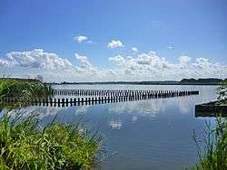
Lake Tega
Lake Tega (手賀沼, Tega-numa) is a lake located in the Chiba Prefecture of Japan, northeast of Tokyo.
| Lake Tega | |
|---|---|
 | |
 Lake Tega | |
| Coordinates | 35°51′24″N 140°01′54″E |
| Primary inflows | Ōhori River, Ōtsu River |
| Primary outflows | Tone River |
| Basin countries | Japan |
| Surface area | 6.5 km2 (2.5 sq mi)[1] |
| Max. depth | 3.8 m (12 ft) |
| Surface elevation | 0 m (0 ft) |
Geography
Location
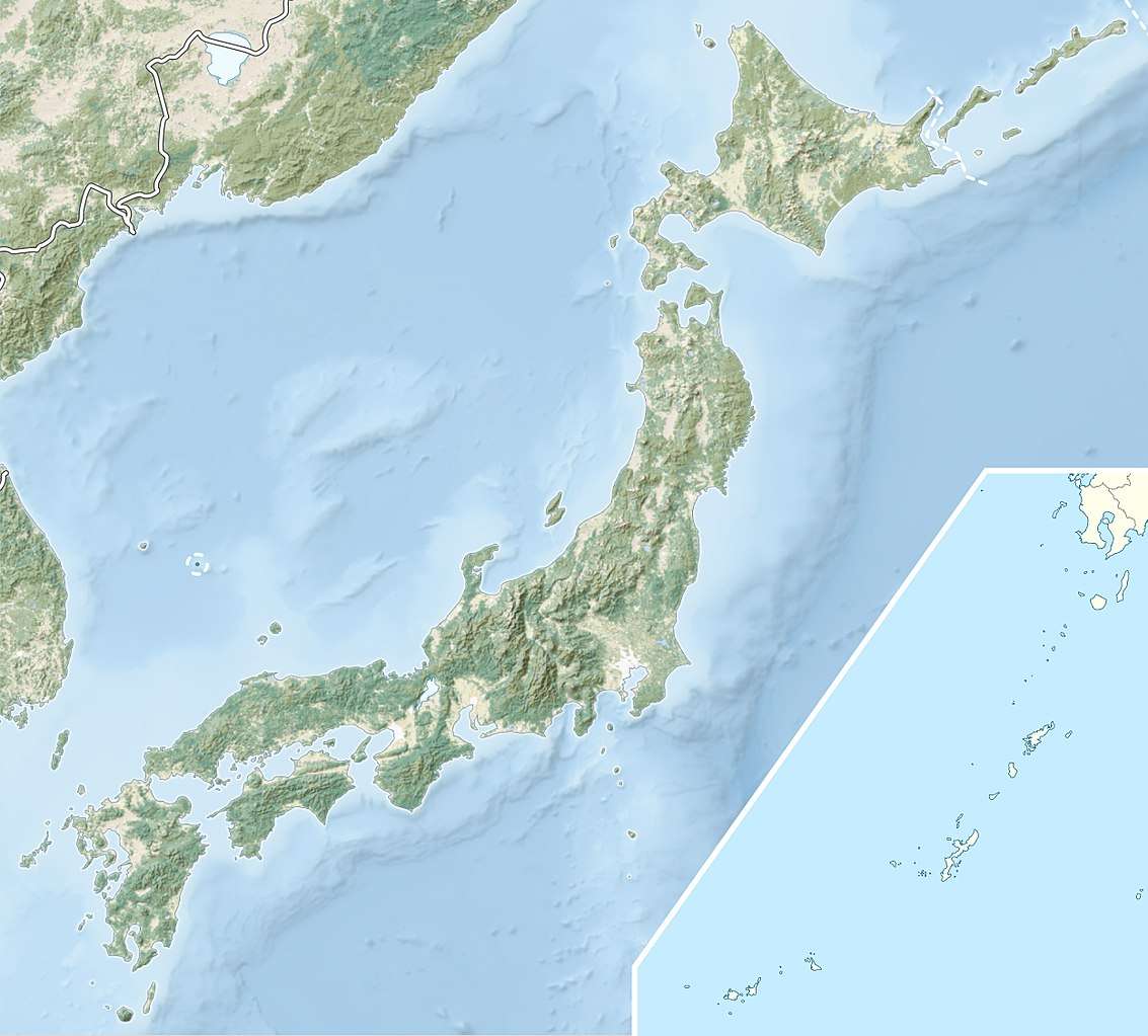
Lake Tega is located entirely in the northwest of Chiba Prefecture, on the main island of Japan: Honshū. As the crow flies, it is about 21.5 kilometres (13.4 mi) north of Tokyo Bay, and 32 km (20 mi) north East of Tokyo Metropolitan Area.
Topography
Lake Tega has a total area of 6.5 km2 (2.5 sq mi) for a perimeter of 38 km (24 mi).[1][2] Its average depth is 0.86 m (2 ft 10 in) and its maximum depth of 3.8 m (12 ft).[1][2] It has the distinction of being composed of two bodies of water: Lake (main) Tega and Lake Shimotega, a watercourse of the watershed of the Tone River.[2]
gollark: What doesn't?
gollark: It's only 30 million tops, not 3 billion.
gollark: Java and Go are both oddly popular esolangs.
gollark: Or java clones.
gollark: There aren't that many BF clones though.
References
- Mairie d'Abiko, Chiba, ed. (1 July 2015). "手賀沼の概要". www.city.abiko.chiba.jp (in Japanese). Retrieved 24 May 2017..
- Chiba Prefecture, ed. (March 2017). "手賀沼について" [À propos du lac Tega] (pdf). www.pref.chiba.lg.jp (in Japanese). Retrieved 25 May 2017..
This article is issued from Wikipedia. The text is licensed under Creative Commons - Attribution - Sharealike. Additional terms may apply for the media files.