La Vertiente Airport (Bolivia)
La Vertiente Airport (ICAO: SLVT) is an airport serving the pipeline facility at La Vertiente in the Tarija Department of Bolivia.
La Vertiente Airport | |||||||||||
|---|---|---|---|---|---|---|---|---|---|---|---|
| Summary | |||||||||||
| Airport type | Public | ||||||||||
| Serves | La Vertiente, Bolivia | ||||||||||
| Elevation AMSL | 1,300 ft / 396 m | ||||||||||
| Coordinates | 21°17′00″S 63°17′42″W | ||||||||||
| Map | |||||||||||
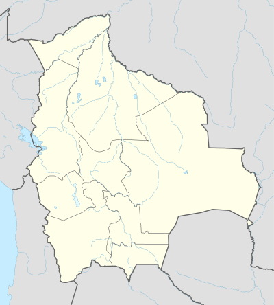 SLVT Location of La Vertiente Airport in Bolivia | |||||||||||
| Runways | |||||||||||
| |||||||||||
The Villamontes non-directional beacon (Ident: VTS) is located 12 kilometres (7.5 mi) west of the airport, near Villamontes on the Lieutenant Colonel Rafael Pabón Airport.[4]
See also


- Transport in Bolivia
- List of airports in Bolivia
References
- Airport record for La Vertiente Airport at Landings.com. Retrieved 2013-08-21
- Google (2013-08-21). "location of La Vertiente Airport" (Map). Google Maps. Google. Retrieved 2013-08-21.
- Airport information for SLVT at Great Circle Mapper.
- Villamontes NDB
External links
- OpenStreetMap - La Vertiente Airport
- OurAirports - La Vertiente Airport
- Fallingrain - La Vertiente Airport
This article is issued from Wikipedia. The text is licensed under Creative Commons - Attribution - Sharealike. Additional terms may apply for the media files.