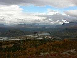
Kvikkjokk
Kvikkjokk (Swedish pronunciation: [ˈkvɪ̌kːjɔk])[1] is a small village situated in Jokkmokk Municipality, Norrbotten County, Sweden. It is located 120 km northwest of Jokkmokk.[2] Several hiking trails start in Kvikkjokk. Kungsleden passes through the village and it is a popular starting point for hikers going into Sarek National Park.
Kvikkjokk | |
|---|---|
 | |
 Kvikkjokk 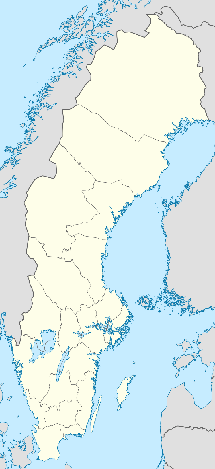 Kvikkjokk | |
| Coordinates: 66°57′N 17°43′E | |
| Country | Sweden |
| Province | Lapland |
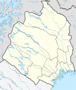
| County | Norrbotten County |
| Municipality | Jokkmokk Municipality |
| Population (2007) | |
| • Total | 70 |
| Time zone | UTC+1 (CET) |
| • Summer (DST) | UTC+2 (CEST) |
Climate
Kvikkjokk has a subarctic climate (Köppen Dfc). It is one of the most continental climates of the Nordics, with 20 °C (68 °F) summer highs and −20 °C (−4 °F) winter lows in terms of averages. Areas to its north that share the proximity to the Norwegian border have greater maritime moderation with milder winters and quite a bit cooler summers. Kvikkjokk instead is quite reminiscent of Lapland's largest town Kiruna in terms of climate, only with wider temperature swings.
| Climate data for Kvikkjokk–Årrenjarka (2002–2018; extremes since 1901) | |||||||||||||
|---|---|---|---|---|---|---|---|---|---|---|---|---|---|
| Month | Jan | Feb | Mar | Apr | May | Jun | Jul | Aug | Sep | Oct | Nov | Dec | Year |
| Record high °C (°F) | 9.0 (48.2) |
9.0 (48.2) |
12.0 (53.6) |
17.4 (63.3) |
27.2 (81.0) |
30.6 (87.1) |
33.1 (91.6) |
29.1 (84.4) |
24.2 (75.6) |
16.0 (60.8) |
12.8 (55.0) |
9.5 (49.1) |
33.1 (91.6) |
| Mean maximum °C (°F) | 3.7 (38.7) |
4.8 (40.6) |
7.0 (44.6) |
11.8 (53.2) |
20.2 (68.4) |
24.2 (75.6) |
26.3 (79.3) |
24.9 (76.8) |
18.6 (65.5) |
10.9 (51.6) |
5.7 (42.3) |
4.9 (40.8) |
27.6 (81.7) |
| Average high °C (°F) | −10.3 (13.5) |
−7.4 (18.7) |
−1.2 (29.8) |
5.0 (41.0) |
10.9 (51.6) |
16.2 (61.2) |
20.1 (68.2) |
17.5 (63.5) |
11.6 (52.9) |
3.8 (38.8) |
−3.4 (25.9) |
−6.4 (20.5) |
4.7 (40.5) |
| Daily mean °C (°F) | −15.2 (4.6) |
−12.7 (9.1) |
−7.2 (19.0) |
−0.3 (31.5) |
5.4 (41.7) |
10.7 (51.3) |
14.4 (57.9) |
12.0 (53.6) |
7.2 (45.0) |
0.2 (32.4) |
−7.1 (19.2) |
−11.3 (11.7) |
−0.3 (31.4) |
| Average low °C (°F) | −20.1 (−4.2) |
−18.0 (−0.4) |
−13.1 (8.4) |
−5.6 (21.9) |
−0.2 (31.6) |
5.1 (41.2) |
8.7 (47.7) |
6.5 (43.7) |
2.7 (36.9) |
−3.4 (25.9) |
−10.7 (12.7) |
−16.1 (3.0) |
−5.3 (22.4) |
| Mean minimum °C (°F) | −35.8 (−32.4) |
−34.3 (−29.7) |
−28.7 (−19.7) |
−19.0 (−2.2) |
−6.6 (20.1) |
−1.9 (28.6) |
1.6 (34.9) |
−0.7 (30.7) |
−4.7 (23.5) |
−13.4 (7.9) |
−23.6 (−10.5) |
−31.2 (−24.2) |
−38.0 (−36.4) |
| Record low °C (°F) | −43.0 (−45.4) |
−42.5 (−44.5) |
−39.0 (−38.2) |
−30.0 (−22.0) |
−19.0 (−2.2) |
−6.6 (20.1) |
−3.0 (26.6) |
−4.5 (23.9) |
−10.5 (13.1) |
−25.6 (−14.1) |
−35.7 (−32.3) |
−40.4 (−40.7) |
−43.0 (−45.4) |
| Average precipitation mm (inches) | 42.2 (1.66) |
33.5 (1.32) |
23.8 (0.94) |
23.9 (0.94) |
42.0 (1.65) |
54.5 (2.15) |
94.3 (3.71) |
72.7 (2.86) |
58.7 (2.31) |
40.5 (1.59) |
43.7 (1.72) |
48.2 (1.90) |
578 (22.75) |
| Source 1: SMHI Open Data[3] | |||||||||||||
| Source 2: SMHI climate data 2002–2018[4] | |||||||||||||

References
| Wikimedia Commons has media related to Kvikkjokk. |
- Jöran Sahlgren; Gösta Bergman (1979). Svenska ortnamn med uttalsuppgifter (in Swedish). p. 15.
- "Kvikkjokk". Nationalencyklopedin (in Swedish). Retrieved 1 August 2010.
- "Öppen Data för Kvikkjokk-Årrenjarka" (in Swedish). Swedish Meteorological and Hydrological Institute.
- "SMHI climate data 2002–2018" (in Swedish). SMHI. 16 May 2019.
| Authority control |
|---|