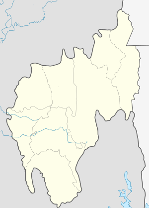
Kumarghat
Kumarghat is a town, municipality, block and a sub-division in Unakoti district in the Indian state of Tripura.
Kumarghat কুমারঘাট KGT | |
|---|---|
city | |
 Kumarghat  Kumarghat | |
| Coordinates: 24°9′30″N 92°1′47″E | |
| Country | |
| State | Tripura |
| District | Unakoti district |
| Population (2015) | |
| • Total | 15,189 |
| Languages | |
| • Official | Bengali, Kokborok, English |
| Time zone | UTC+5:30 (IST) |
| Vehicle registration | TR-02 |
| Website | tripura |
Demographics
As of 2011, Kumarghat sub-division had a population of 157,972.[1]
Constituent villages
- Darchawi
- Ganganagar
- Gakulnagar
- Rajkandi
- Nadiapur
- Ujan Dudhpur
- Bali Cherra
- Bashbagan
- Uttar Pabiacherra
- Pabiacherra
- Fatikroy
- Asram Palli
- Halaimura
- Santipara
- Nidevi
- Sonaimuri
- Saidabari
- Krishna nagar
- Nath para
- Rail colony
Transportation
Kumarghat railway station is one of the few railway stations in the Tripura, which is connected with Agartala and Silchar.
gollark: I mean, I don't do those things, but still.
gollark: I don't really like the increasing regulation of things and difficulty of doing possibly-dangerous things as a hobbyist.
gollark: As I said, we live in a society.
gollark: They would never *reduce* fees probably.
gollark: We really do live in a society.
See also
This article is issued from Wikipedia. The text is licensed under Creative Commons - Attribution - Sharealike. Additional terms may apply for the media files.