Kroonstad Airport
Kroonstad Airport (ICAO: FAKS) is an airport serving Kroonstad in the Free State province of South Africa.[1][2]
Kroonstad Airport | |||||||||||||||||||
|---|---|---|---|---|---|---|---|---|---|---|---|---|---|---|---|---|---|---|---|
| Summary | |||||||||||||||||||
| Airport type | Public | ||||||||||||||||||
| Serves | Kroonstad, Free State, South Africa | ||||||||||||||||||
| Elevation AMSL | 4,700 ft / 1,433 m | ||||||||||||||||||
| Coordinates | 27°39′38″S 27°18′56″E | ||||||||||||||||||
| Map | |||||||||||||||||||
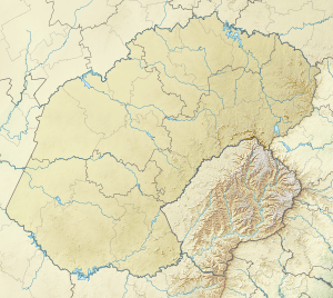 FAKS Location of airport in Free State province Location of Free State in South Africa 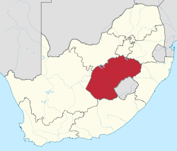 | |||||||||||||||||||
| Runways | |||||||||||||||||||
| |||||||||||||||||||
Facilities
The airport resides at an elevation of 4,700 feet (1,433 m) above mean sea level. It has one asphalt paved runway designated 07/25 which measures 1,775 by 14 metres (5,823 ft × 46 ft); it also has two grass runways: 12/30 is 1,200 by 30 metres (3,937 ft × 98 ft) and 03/21 is 900 by 30 metres (2,953 ft × 98 ft). [1]
gollark: I didn't actually turn up, I just have a bot generate plausibly-from-me-looking messages at random times when other people are active.
gollark: I may have to keep Project NAMEPLATE EQUALIZER on standby.
gollark: You just commented on it.
gollark: I wonder why they reacted so strongly to the execution of COMPARTMENTAL SLATS.
gollark: Wait, *can* I contact him? They're not on here.
References
- Airport information for FAKS from DAFIF (effective October 2006)
- Airport information for FAKS at Great Circle Mapper. Source: DAFIF (effective October 2006).
External links
- Aeronautical chart and airport information for FAKS at SkyVector
- Accident history for FAKS at Aviation Safety Network
- FAKS on FlightStats
This article is issued from Wikipedia. The text is licensed under Creative Commons - Attribution - Sharealike. Additional terms may apply for the media files.