Kran Peninsula
Kran Peninsula (Bulgarian: полуостров Крън, romanized: poluostrov Kran, IPA: [poɫuˈɔstrof ˈkrɤn]) is the heavily indented peninsula forming the northeast extremity of Liège Island in the Palmer Archipelago, Antarctica. It extends 2.85 km in north-south direction and 2.35 km in east-west direction, ending up in Moureaux Point to the north and Neyt Point to the east, and connected to the rest of the island by a 200 m wide neck to the south.
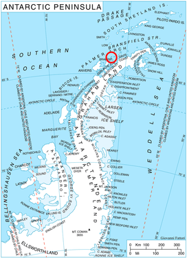
Location of Liège Island in the Antarctic Peninsula region.
The feature is named after the town of Kran in Southern Bulgaria.
Location
Kran Peninsula is centred at 63°58′20″S 61°49′00″W. British mapping in 1978.
Maps
- British Antarctic Territory. Scale 1:200000 topographic map. DOS 610 Series, Sheet W 63 60. Directorate of Overseas Surveys, UK, 1978.
- Antarctic Digital Database (ADD). Scale 1:250000 topographic map of Antarctica. Scientific Committee on Antarctic Research (SCAR), 1993–2016.
gollark: This is a copy of it if anyone wants it.
gollark: Why do people *keep* misinterpreting my avatar as subliminal pizza advertising?
gollark: The AP was flooded with random junk.
gollark: I bred every single one of my dragons twice. Fun times.
gollark: It *might* not kill it.
References
- Bulgarian Antarctic Gazetteer. Antarctic Place-names Commission. (details in Bulgarian, basic data in English)
- Kran Peninsula. SCAR Composite Antarctic Gazetteer.
External links
- Kran Peninsula. Copernix satellite image
- Kran Peninsula on AADC website
This article includes information from the Antarctic Place-names Commission of Bulgaria which is used with permission.
This article is issued from Wikipedia. The text is licensed under Creative Commons - Attribution - Sharealike. Additional terms may apply for the media files.