Kolotsky
Kolotsky (Russian: Колоцкий) is a rural locality (a khutor) in Ilovlinskoye Rural Settlement, Ilovlinsky District, Volgograd Oblast, Russia. The population was 257 as of 2010.[2] There are 23 streets.
Kolotsky Колоцкий | |
|---|---|
Khutor | |
 Kolotsky  Kolotsky | |
| Coordinates: 49°15′N 43°59′E[1] | |
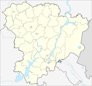
| Country | Russia |
| Region | Volgograd Oblast |
| District | Ilovlinsky District |
| Time zone | UTC+4:00 |
Geography
The village is located in steppe, on the Volga Upland, 2 km south from Ilovlya.
gollark: I thought you had to have done that a while ago.
gollark: Are there parts of the computation which don't change much between runs? You could do caching, if so.
gollark: So it uses your model of the magnetic field from the cable to pick the best way to reduce the magnetic field around the cable, or something like that?
gollark: So how does the slow genetic algorithm thing relate?
gollark: What are the axes?
References
- Карта Иловлинского района Волгоградской области
- Всероссийская перепись населения 2010 года. Численность населения городских округов, муниципальных районов, городских и сельских поселений, городских и сельских населённых пунктов Волгоградской области
This article is issued from Wikipedia. The text is licensed under Creative Commons - Attribution - Sharealike. Additional terms may apply for the media files.