Kohali, Faisalabad
Kohali is a village of union council 47-GB of samundri of Faisalabad District in the Punjab province of Pakistan. It is part of samundri,[1] and located at latitude 31° 7'45.50"N and longitude 72°47'56.72"E with an altitude of 563 feet.[2] It was very rich and historical village before independence. There are four mosques and one Imambargah in the village. More influential tribes and clans are Rajput, Jat, Arian, kamboh, etc. Main occupation of the people are cultivation. This village is located about 10 km (6.2 mi) from Gojra and about 20 km (12 mi) from Samundri.
Kohali chak no. 43-GB | |
|---|---|
Village | |
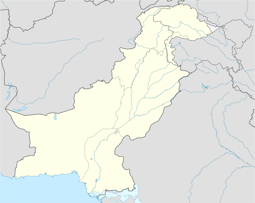 Kohali chak no. 43-GB Location in Pakistan | |
| Coordinates: 31°7′45.36″N 72°47′56.80″E | |
| Country | Pakistan |
| Province | Punjab |
| district | Faisalabad district |
| Government | |
| • MNA | shehbaz Gujjar |
| Area | |
| • Total | 1.3 km2 (0.5 sq mi) |
| Elevation | 563 m (1,847 ft) |
| Population | |
| • Total | 2,500 |
| • Density | 1,900/km2 (5,000/sq mi) |
| Time zone | UTC+5 (PST) |
| Calling code | 0413 |
The main crops that are cultivated in this village are sugar cane and wheat and the land of this village is watered from the branch canal of the Gugera Branch Canal which is a branch of Lower Chenab Canal. Rana Shamshad ali khan is the biggest land owner from this village. Most of the under water is sour. More than 98% population of this village is connected directly and indirectly with cultivation. There is no proper sanitation system in the village.
References
- "Tehsils & Unions in the District of faisalabad - Government of Pakistan". Archived from the original on 2011-08-07. Retrieved 2011-05-05.
- Location of Lopoke - Falling Rain Genomics
External links
Neighbourhoods of Faisalabad | ||
|---|---|---|
Administrations: Faisalabad Division and Faisalabad District | ||
| Tehsils |
|  |
| Cities | ||
| Towns & councils |
| |
| Localities |
| |