Koether Inlet
Koether Inlet is an ice-filled inlet about 18 nautical miles (33 km) long, indenting the north coast of Thurston Island, Antarctica, between Edwards Peninsula and Evans Peninsula.[1] It was first delineated from air photos taken by U.S. Navy Squadron VX-6 in January 1960. The inlet was named by the Advisory Committee on Antarctic Names (US-ACAN) for Ensign Bernard Koether, a navigator on USS Glacier (AGB-4) in February 1960 who assisted in the charting of the Thurston Island coastline and in the accurate location of soundings.[1]

Koether Inlet
Location of Koether Inlet in Antarctica
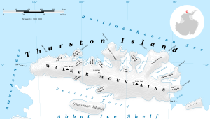
Map of Thurston Island.
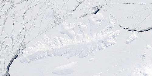
Satellite image of Thurston Island.
Maps
- Thurston Island – Jones Mountains. 1:500000 Antarctica Sketch Map. US Geological Survey, 1967.
- Antarctic Digital Database (ADD). Scale 1:250000 topographic map of Antarctica. Scientific Committee on Antarctic Research (SCAR), 1993–2016.
gollark: Technically usable!
gollark: Variable names consist only of numbers and _s.
gollark: Or base 17.
gollark: String literals are specified as byte arrays!
gollark: Oh dear, a comment. I need to stop it somehow. Hmm.
References
- "Koether Inlet". Geographic Names Information System. United States Geological Survey. Retrieved 2013-05-13.
![]()
This article is issued from Wikipedia. The text is licensed under Creative Commons - Attribution - Sharealike. Additional terms may apply for the media files.